
Order Total (1 Item Items):
Shipping Destination:

Volume Editor Basil Doliveira (2 results)
Skip to main search results
Search filters
Product Type
- All Product Types
- Books (2)
- Magazines & Periodicals (No further results match this refinement)
- Comics (No further results match this refinement)
- Sheet Music (No further results match this refinement)
- Art, Prints & Posters (No further results match this refinement)
- Photographs (No further results match this refinement)
- Maps (No further results match this refinement)
- Manuscripts & Paper Collectibles (No further results match this refinement)
Condition Learn more
- New (No further results match this refinement)
- As New, Fine or Near Fine (No further results match this refinement)
- Very Good or Good (2)
- Fair or Poor (No further results match this refinement)
- As Described (No further results match this refinement)
Binding
- All Bindings
- Hardcover (No further results match this refinement)
- Softcover (2)
Collectible Attributes
- First Edition (No further results match this refinement)
- Signed (No further results match this refinement)
- Dust Jacket (No further results match this refinement)
- Seller-Supplied Images (No further results match this refinement)
- Not Print on Demand (2)
Language (1)
Price
- Any Price
- Under � 20 (No further results match this refinement)
- � 20 to � 35 (No further results match this refinement)
- Over � 35
Free Shipping
- Free Shipping to U.S.A. (No further results match this refinement)
Seller Location
Seller Rating
-
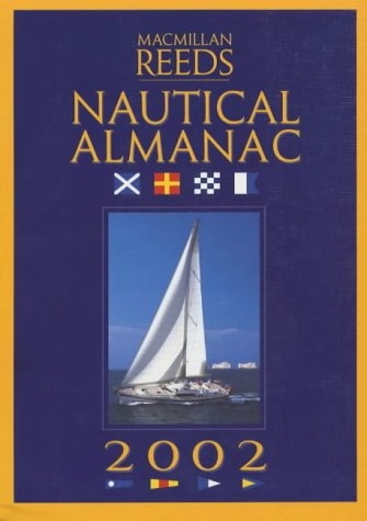
The Macmillan Reeds Nautical Almanac: 2002
Language: English
Published by Pan Macmillan, United Kingdom, London, 2001
ISBN 10: 033390821X ISBN 13: 9780333908211
Seller: WorldofBooks, Goring-By-Sea, WS, United Kingdom
Seller rating 5 out of 5 stars

Paperback. Condition: Very Good. Continuing a 22-year tradition, this edition of the Almanac again seeks to present the best, most reliable and most up-to-date navigational data. Coverage now includes the entire European Atlantic area - the UK, Ireland and the European coastline from the tip of Denmark right down to Gibralter. Divided in 25 areas, the Almanac provides heavily illusrated and detailed harbour, marina, coastal and tidal information. With data gathered from many different sources, including its own network of over 200 local agents, the Almanac is rigorously checked and updated every year to ensure it is both safe and fully informative. The book has been read, but is in excellent condition. Pages are intact and not marred by notes or highlighting. The spine remains undamaged.
-
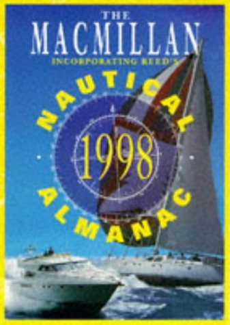
Macmillan Nautical Almanac 1998
Language: English
Published by Pan Macmillan, United Kingdom, London, 1997
ISBN 10: 0333670965 ISBN 13: 9780333670965
Seller: WorldofBooks, Goring-By-Sea, WS, United Kingdom
Seller rating 5 out of 5 stars
Paperback. Condition: Very Good. This almanac is an annual compendium of navigational data for yachtsmen in the waters around the UK, Ireland and the coast of Europe from the Franco-Spanish Atlantic border to the North Sea border of Germany and Denmark. It provides source information for the Royal Yachting Association's training publications and is used on RYA instructional courses. It includes: rules of the road; weather; coastal navigation; safety; harbour facilities; waypoints; documentation and customs; radio navigation aids; international codes and flags; tide tables and tidal streams; distance tables; telephone numbers; chartlet of harbours in UK, France, Belgium, Germany and Ireland; and regular supplements. Dividing the coastline into 21 areas, it gives detailed harbour, marina, coastal and tidal information on each one, all heavily illustrated with chartlets. Using a network of over 200 agents and information from many different courses, the almanac is rigorously updated each year to ensure it is safe and fully informative. This almanac also contains general navigational information on everything from sailing by the stars to using the latest radio and computer navigational aids, as well as giving useful data on the weather, communications at sea, safety procedures, tides and over 3,600 waypoints. The book has been read, but is in excellent condition. Pages are intact and not marred by notes or highlighting. The spine remains undamaged.