
Order Total (1 Item Items):
Shipping Destination:

Freda Crowder (4 results)
Skip to main search results
Search filters
Product Type
- All Product Types
- Books (3)
- Magazines & Periodicals (No further results match this refinement)
- Comics (No further results match this refinement)
- Sheet Music (No further results match this refinement)
- Art, Prints & Posters (No further results match this refinement)
- Photographs (No further results match this refinement)
- Maps (1)
- Manuscripts & Paper Collectibles (No further results match this refinement)
Condition Learn more
- New (1)
- As New, Fine or Near Fine (No further results match this refinement)
- Very Good or Good (2)
- Fair or Poor (No further results match this refinement)
- As Described (1)
Binding
- All Bindings
- Hardcover (No further results match this refinement)
- Softcover (3)
Collectible Attributes
- First Edition (2)
- Signed (No further results match this refinement)
- Dust Jacket (No further results match this refinement)
- Seller-Supplied Images (No further results match this refinement)
- Not Print on Demand (4)
Language (2)
Price
- Any Price
- Under � 20
- � 20 to � 35 (No further results match this refinement)
- Over � 35 (No further results match this refinement)
Free Shipping
- Free Shipping to U.S.A. (No further results match this refinement)
Seller Location
Seller Rating
-

Rotherham then and now
Language: English
Published by Metropolitan Borough of Rotherham, Libraries, Museum and Arts Department, Rotherham, 1986
ISBN 10: 0903666308 ISBN 13: 9780903666305
First Edition
Soft cover. Condition: Very Good. First Edition. 46 pages, illustrated, covers slightly soiled.
-

A walk around old Rotherham
Published by Metropolitan Borough of Rotherham Libraries, Museums and Arts Department, 1979
ISBN 10: 0903666146 ISBN 13: 9780903666145
Seller: WorldofBooks, Goring-By-Sea, WS, United Kingdom
Seller rating 5 out of 5 stars

Paperback. Condition: Very Good. The book has been read, but is in excellent condition. Pages are intact and not marred by notes or highlighting. The spine remains undamaged.
-
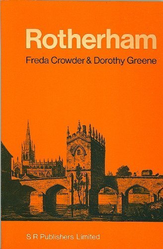
ROTHERHAM Its History Church and Chapel on the Bridge
Seller: Richard Sylvanus Williams (Est 1976), WINTERTON, United Kingdom
Seller rating 5 out of 5 stars
First Edition
Card. Condition: nrFine. 1st Edition. About 60 pages. (2 copies).
-

Rotherham 1901: Yorkshire Sheet 289.11b (Old Ordnance Survey Maps of Yorkshire)
Seller: GENERATIONS GONE BY, Manchester, United Kingdom
Seller rating 5 out of 5 stars
Map
No Binding. Condition: New. No Jacket. Here are the details of maps for Rotherham: Sheet 289.11a Rotherham 1890 - published 2013, intro by Melvyn Jones. ISBN.978-1-84784-694-5 Sheet 289.11b Rotherham 1901 - published 1984, 2nd edition 2020; intro by Freda Crowder, Sally Shepard & Alan Godfrey. ISBN.978-1-78721-360-9 Sheet 289.11c Rotherham 1922 - published 2004, intro by Melvyn Jones. ISBN.978-1-84151-698-1 We have published three versions of this detailed map, showing how the area developed across the years. The 1890 version is in colour, taken from the 1st edition OS handcoloured map. The maps cover the same area, with coverage stretching from Masbrough Street eastward to Western Road, and from Kenneth Street southward to Reneville Road. Rotherham town centre is covered and the many features include Central station, Westgate station, Workhouse, Rotherham Old Brewery, cattle market, River Don, Sheffield & South Yorkshire Navigation, hospital, All Saints church, Effingham Works, Rotherham Forge, Clifton Park, cholera burial ground, race course, Clifton House, Market Hall etc. Each map has selections from contemporary street directory entries. The map links up with Yorkshire Sheets 289.07 Eastwood to the north, 289.10 Masbrough to the west, 289.15 Rotherham South to the south.