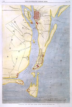
'WILMINGTON AND CAPE FEAR RIVER'. Map of the area between Wilmington and Cape Fear on Smith's Island, showing the forts and batteries during the Civil War. For the Illustrated London News designed and engraved by
Dower, J.
Sold by Garwood & Voigt, Sevenoaks, United Kingdom
AbeBooks Seller since 25 November 2013
Used
Condition: Used - Fine
Quantity: 1 available
Add to basket