Stringer's Map of Cleveland and Suburbs.
1873 Stringer / Dercum Map of Cleveland, Ohio
Sold by Geographicus Rare Antique Maps, Brooklyn, NY, U.S.A.
Association Member:
AbeBooks Seller since 21 November 2024
Sold by Geographicus Rare Antique Maps, Brooklyn, NY, U.S.A.
Association Member:
AbeBooks Seller since 21 November 2024
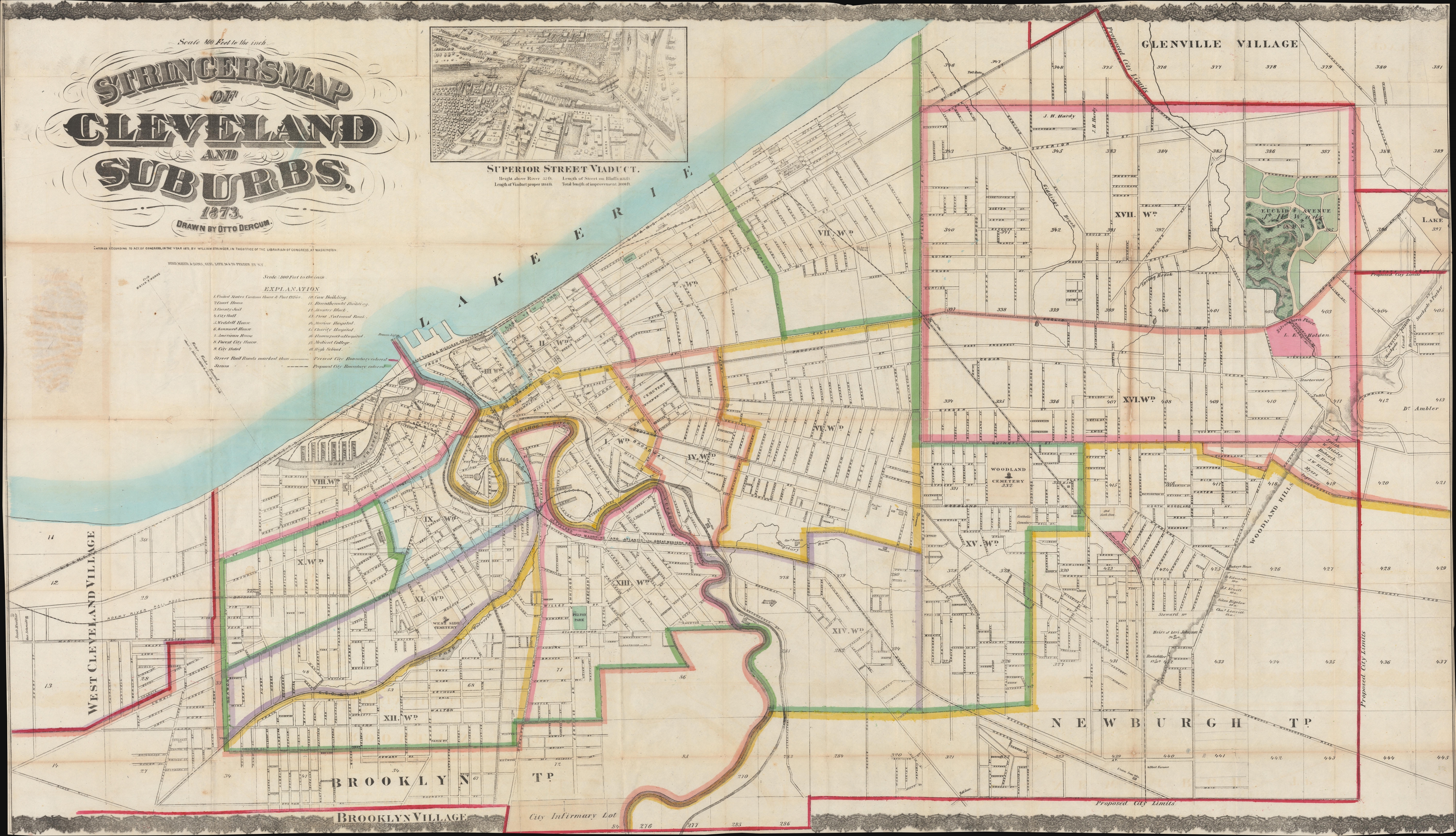
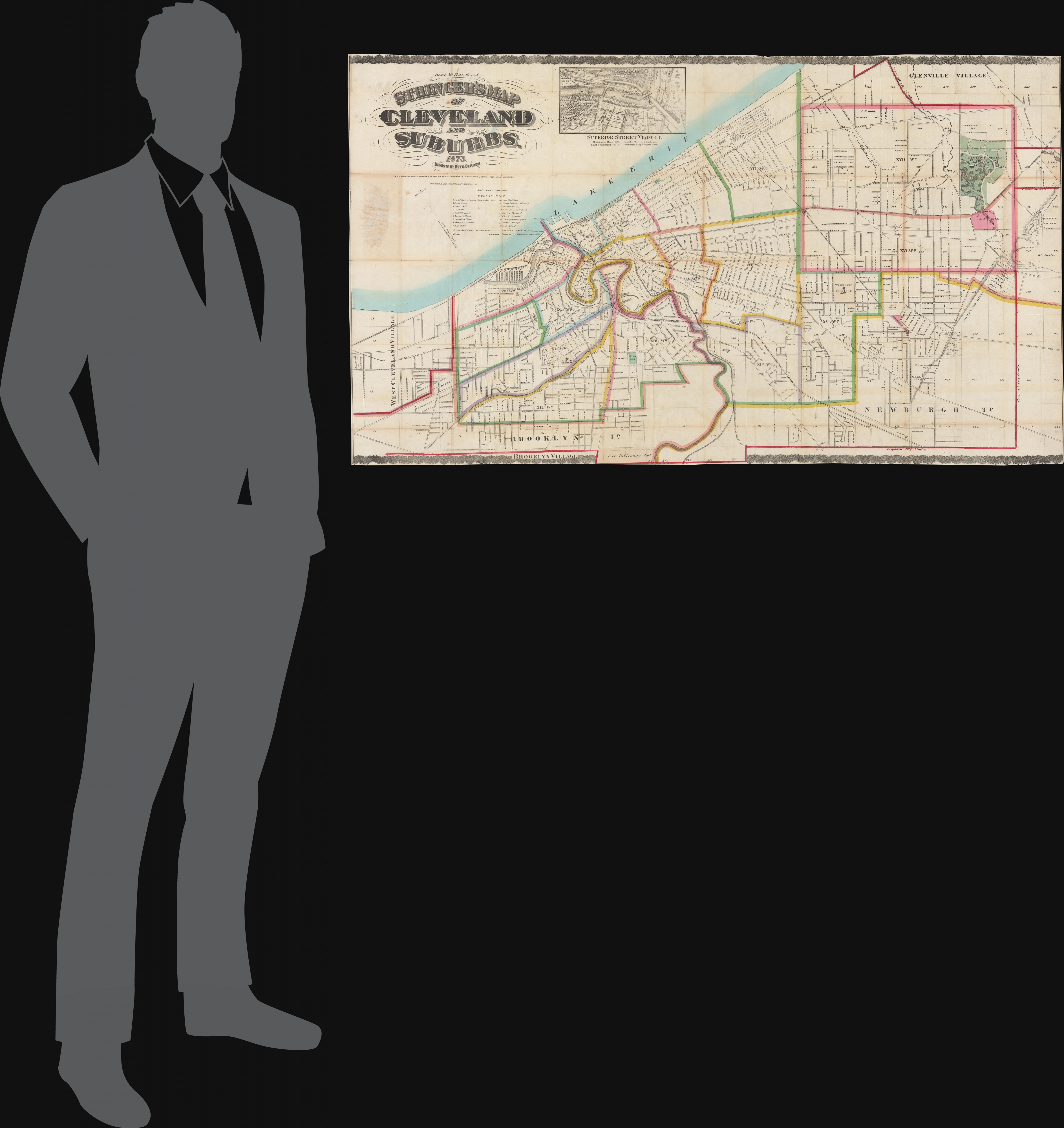
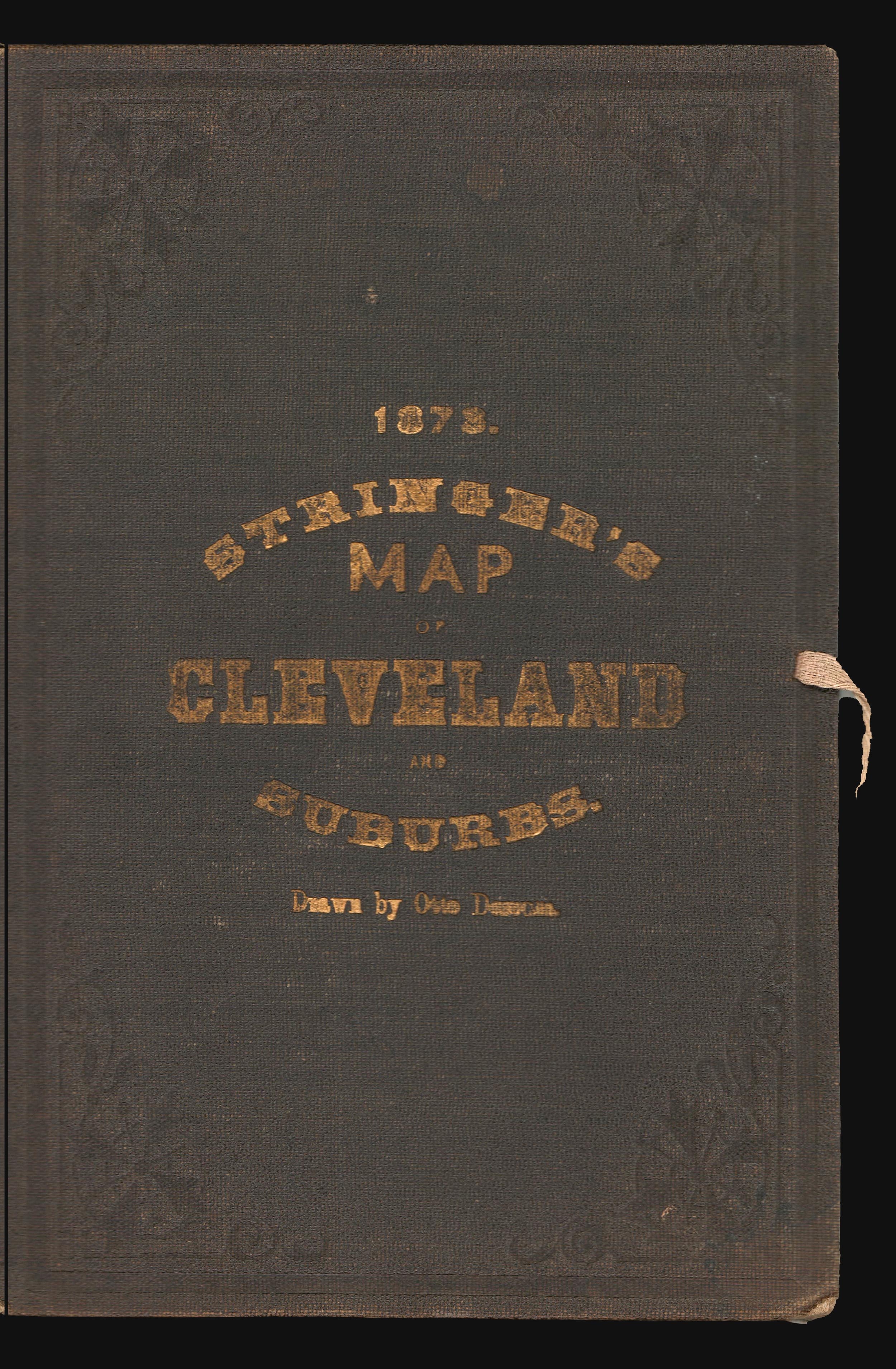
Very good. Old onionskin paper exhibits wear on original fold lines. Archival verso reinstatement at most fold intersections. Stable. Edges trimmed by publisher to neatline - as in all examples. Size 31 x 54 Inches. This is an impressive 1873 William Stringer and Otto Dercum large-scale map of Cleveland, Ohio. The map was drawn to illustrate the Super Street Viaduct, a transformative infrastructure project that prompted a wave of urban expansion in the late 19th century. A Closer Look Centered loosely on the Cuyahoga River, coverage embraces metro Cleveland from West Cleveland Village to (roughly) modern-day Euclid-Green, and from Lake Erie to Brooklyn Village. The map is divided according to city wards, with most streets named and railroad connections clearly marked. The map's raison d'être is the ongoing construction of the Superior Street Viaduct, depicted in a view at top center. The Viaduct was a major ongoing infrastructure project that promised to transform Cleveland by connecting the eastern parts of the city to the urban center. Superior Street Viaduct The Superior Street Viaduct was a major 19th-century infrastructure project in Cleveland, Ohio intended to link the east and west sides of the city. Constructed between 1875 and 1878, the grandiose Viaduct was Cleveland's first high-level bridge. It was built of Berea sandstone with massive stone arches supporting the superstructure. At the time, Cleveland was rapidly industrializing, and the Viaduct was seen as essential for improving transportation, commerce, and urban expansion. A swinging center span - depicted here - was included to allow ships to pass, reflecting the city's reliance on Great Lakes shipping. For decades, the Viaduct served as a major thoroughfare, but as Cleveland grew, newer bridges eventually rendered it obsolete. Portions of the structure were demolished in the 1920s, though some remnants, including the stone arches, still exist. Publication History and Census This map was drafted by Otto Dercum and published in 1873 by William Stringer. It was printed in New York by Ferdinand Mayer. We see just three examples in OCLC: Cleveland Public Library, the British Library, and the William Clements Library. Extremely rare on the market. References: OCLC 166640612, 36516239.
Seller Inventory # Cleveland-stringer-1873
Guarantee
Geographicus Rare Antique Maps offers a full guarantee of authenticity on every map we sell. We do not trade in modern reproductions or contemporary copies. A signed Certificate of Authenticity will accompany every map we sell. Any map legitimately found to be a fake or reproduction may be returned to Geographicus at any time for a full refund. Returns based on claims of inauthenticity must be accompanied by no less than two letters from industry professionals (other ABAA/ILAB dealers,...
If you are a consumer you can cancel the contract in accordance with the following. Consumer means any natural person who is acting for purposes which are outside his trade, business, craft or profession.
INFORMATION REGARDING THE RIGHT OF CANCELLATION
Statutory Right to cancel
You have the right to cancel this contract within 14 days without giving any reason.
The cancellation period will expire after 14 days from the day on which you acquire, or a third party other than the carrier and indicated by you acquires, physical possession of the the last good or the last lot or piece.
To exercise the right to cancel, you must inform us, Geographicus Rare Antique Maps, 923 Putnam Ave, Ground Floor, 11221, Brooklyn, New York, U.S.A., +1 6463208650, of your decision to cancel this contract by a clear statement (e.g. a letter sent by post, fax or e-mail). You may use the attached model cancellation form, but it is not obligatory. You can also electronically fill in and submit a clear statement on our website, under "My Purchases" in "My Account". If you use this option, we will communicate to you an acknowledgement of receipt of such a cancellation on a durable medium (e.g. by e-mail) without delay.
To meet the cancellation deadline, it is sufficient for you to send your communication concerning your exercise of the right to cancel before the cancellation period has expired.
Effects of cancellation
If you cancel this contract, we will reimburse to you all payments received from you, including the costs of delivery (except for the supplementary costs arising if you chose a type of delivery other than the least expensive type of standard delivery offered by us).
We may make a deduction from the reimbursement for loss in value of any goods supplied, if the loss is the result of unnecessary handling by you.
We will make the reimbursement without undue delay, and not later than 14 days after the day on which we are informed about your decision to cancel with contract.
We will make the reimbursement using the same means of payment as you used for the initial transaction, unless you have expressly agreed otherwise; in any event, you will not incur any fees as a result of such reimbursement.
We may withhold reimbursement until we have received the goods back or you have supplied evidence of having sent back the goods, whichever is the earliest.
You shall send back the goods or hand them over to us or Geographicus Rare Antique Maps, 923 Putnam Ave, Ground Floor, 11221, Brooklyn, New York, U.S.A., +1 6463208650, without undue delay and in any event not later than 14 days from the day on which you communicate your cancellation from this contract to us. The deadline is met if you send back the goods before the period of 14 days has expired. You will have to bear the direct cost of returning the goods. You are only liable for any diminished value of the goods resulting from the handling other than what is necessary to establish the nature, characteristics and functioning of the goods.
Exceptions to the right of cancellation
The right of cancellation does not apply to:
Model withdrawal form
(complete and return this form only if you wish to withdraw from the contract)
To: (Geographicus Rare Antique Maps, 923 Putnam Ave, Ground Floor, 11221, Brooklyn, New York, U.S.A., +1 6463208650)
I/We (*) hereby give notice that I/We (*) withdraw from my/our (*) contract of sale of the following goods (*)/for the provision of the following goods (*)/for the provision of the following service (*),
Ordered on (*)/received on (*)
Name of consumer(s)
Address of consumer(s)
Signature of consumer(s) (only if this form is notified on paper)
Date
* Delete as appropriate.
Shipping
Geographicus ships Fedex Ground orders Tuesday, and Thursday. Typically orders placed before 3PM EST during these days, will be shipped on the same day. Orders placed after 3PM EST will be shipped on the next shipping day. For domestic shipping, we use FedEx Ground, FedEx Express, and if necessary USPS Express. International shipments are dispatched via DHL or FedEx International, depending on the size of parcel and destination. Other shipping can be arranged on request but may incur additional fees. We do not ship on Saturdays, Sundays, or official U.S. Holidays. All shipments require a signature on delivery. All shipments are insured. Clients will be provided with a tracking number for all shipments. Geographicus does not use freight forwarders or third party shipping agents.
We do our best to ensure timely delivery of your purchases. Nonetheless, even the best courier services do not have perfect track records. Holidays, weekends, international customs, vehicle breakdowns, and inclement weather can result in unforeseen and unavoidable delays. If you are purchasing an item for a gift or you otherwise have a specific deadline, please specify this information on your order form and use a shipping method that allows a safe time cushion for receipt of your order.
Handling, Customs, and Storage
Geographicus does not refund any shipping, handling, storage fees or international customs charges that the buyer may incur after purchasing an item from us. All customs charges are the buyer's responsibility and will vary from country to country. For a specific list of customs regulations for other countries please consult that sovereignty's customs office directly.
Insurance
All maps and books shipped to and from Geographicus Rare Antique Maps are insured by our Fine Arts Dealer policy. The deductible on all shipped items is 100 USD. The deductible is paid by the shipper unless otherwise agreed. Damage claims must be filed within 7 days of receipt to be honored. Lost parcel claims can be filed up to 3 months after the shipment is sent.
| Order quantity | 7 to 14 business days | 2 to 8 business days |
|---|---|---|
| First item | £ 12.67 | £ 33.54 |
Delivery times are set by sellers and vary by carrier and location. Orders passing through Customs may face delays and buyers are responsible for any associated duties or fees. Sellers may contact you regarding additional charges to cover any increased costs to ship your items.