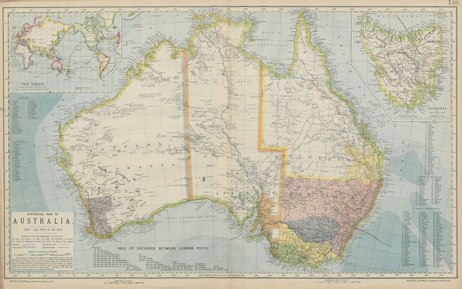
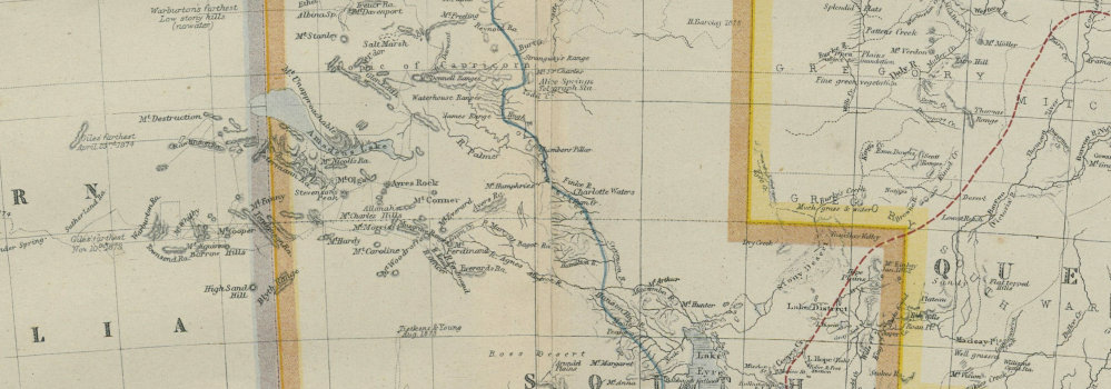
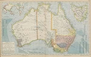
Statistical map of Australia; Inset maps of The World on Mercator's Projection with Distances from Australian ports (western half of map in two parts)
Letts, Thomas
Publication Date: 1884
Used
From
Antiqua Print Gallery, London, United Kingdom
Seller rating 5 out of 5 stars
![]()
AbeBooks Seller since 14 January 2022
This specific copy is no longer available. Here are our closest matches for Statistical map of Australia; Inset maps of The World on Mercator's Projection with Distances from Australian ports (western half of map in two parts) by Letts, Thomas.
About this Item
Description:
AUSTRALIA. White=unexplored. Violet & green=best sheep country. LETTS 1884 map. Antique colour atlas map; Published by Letts & Co. Most of the plates used for this atlas were original engraved for the SDUK atlas in the mid nineteenth century. The plates were later sold to Thomas Letts, and subsequently to Mason & Payne (1884). 42.5 x 68.5cm, 16.75 x 27 inches; this is a folding map. Condition: Good. The image shown may have been taken from a different example of this map than that which is offered for sale. The map you will receive is in good condition but there may be minor variations in the condition from that shown in the image. There is nothing printed on the reverse side, which is plain. Seller Inventory # P-8-002118
Bibliographic Details
Title: Statistical map of Australia; Inset maps of ...
Publication Date: 1884
Condition: Good
Top Search Results from the AbeBooks Marketplace

Statistical map of Australia; Inset maps of The World on Mercator's Projection with Distances from Australian ports (western half of map in two parts)
Used
Seller: Antiqua Print Gallery, London, United Kingdom
Seller rating 4 out of 5 stars
![]()
Condition: Good. AUSTRALIA. White=unexplored. Violet & green=best sheep country. LETTS 1883 map. Antique colour atlas map; Published by Letts & Co. Most of the plates used for this atlas were original engraved for the SDUK atlas in the mid nineteenth century. The plates were later sold to Thomas Letts, and subsequently to Mason & Payne (1883). 44.0 x 73.0cm, 17.25 x 28.75 inches; this is a folding map. Condition: Good. This map was originally printed as two separate pages which have been professionally joined to form a single sheet; The image shown may have been taken from a different example of this map than that which is offered for sale. The map you will receive is in good condition but there may be minor variations in the condition from that shown in the image. There is nothing printed on the reverse side, which is plain. Seller Inventory # P-8-010874