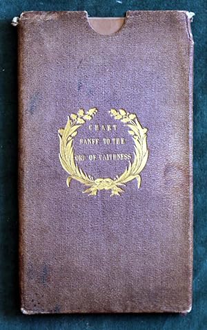
Admiralty Chart - Banff to the Ord of Caithness, 1847
Hydrographic Office of the Admiralty
From Chesil Books, DORCHESTER, United Kingdom
Seller rating 4 out of 5 stars
AbeBooks Seller since 11 July 2016
From Chesil Books, DORCHESTER, United Kingdom
Seller rating 4 out of 5 stars
AbeBooks Seller since 11 July 2016
About this Item
Published according to Act of Parliament at the Hydrographic Office of the Admiralty, 1847; Scotland. East Coast Sheet IV; 965 x 265mm (38" x 25") folded into a brown pebbled cloth covered slip case, titled gilt on the cover, 130 x 220mm; 24 steel engraved segments, linen backed and with protective panels at the folded outer sections; slight fraying and a couple of small splits at the head of the slip case but otherwise both the case and the chart are in good or better condition. . . . The chart is corrected to 1857 and there are seven lighthouses marked around the coast. There is no reference number shown on the map although the surveyors are identified as Cmdrs. Slater and Otter. Seller Inventory # 000958
Bibliographic Details
Title: Admiralty Chart - Banff to the Ord of ...
Binding: Soft cover
Condition: Good
Store Description
Books are described carefully, accurately and fairly. Despite this errors can occur and of course we'll acknowledge any brought to our attention. If this error is material then we'll either make an appropriate partial refund or allow you to return the book at our cost and make a full refund of the book and postage costs originally paid by you.
We also want you to be happy with your purchase and if having a received a book you decide promptly you no longer want to buy it please feel free to retur...
More InformationWe'll also seek to minimise postal charges by packing two or more books together or by using carriers for larger consignments, as appropriate.
Payment Methods
accepted by seller