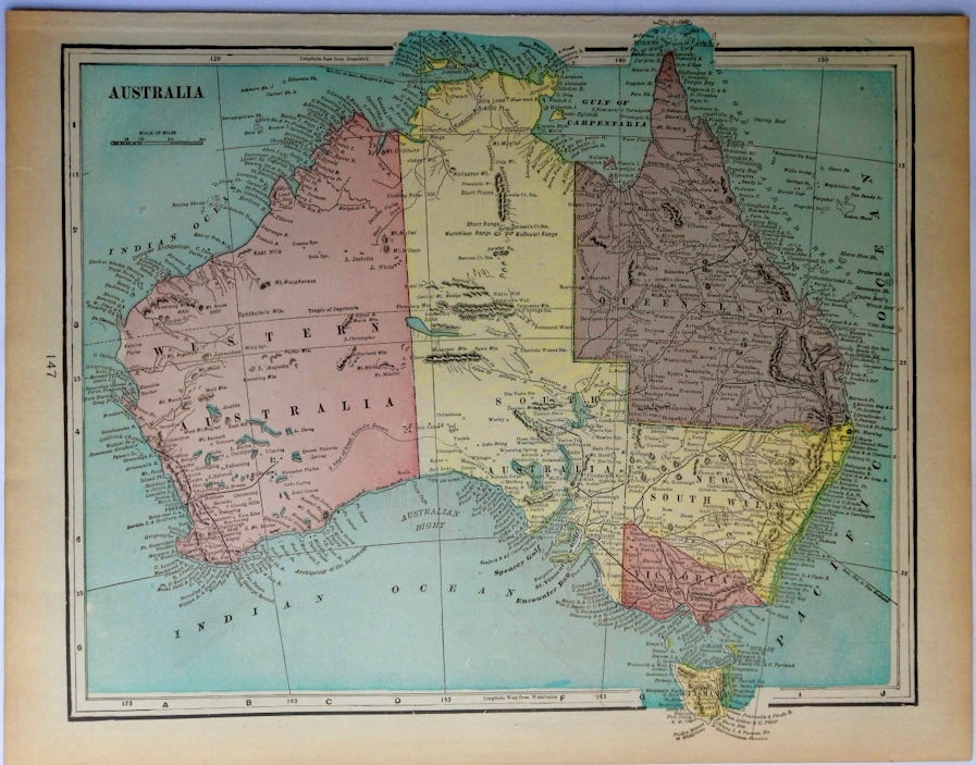
Australia ,1902 Color Map
Sold by Artisans-lane Maps & Prints, Victoria, BC, Canada
AbeBooks Seller since 25 August 2021
Used
Condition: very good
Quantity: 1 available
Add to basketSold by Artisans-lane Maps & Prints, Victoria, BC, Canada
AbeBooks Seller since 25 August 2021
Condition: very good
Quantity: 1 available
Add to basketOverall Size including text and borders : 14 ½ x 11 in. Lithographed by George Franklin Cram (Cartographer) for Pictorial atlas of the greater United States and the world 1902 . CONDITION: This is a Single Page Map with a Folded Double Page Map on the back along with Single page Map. Clear and sharp with beautiful detail. Aged Appropriately. As scanned. This map depicts Australia, showing its division into states and territories during the colonial era. The continent is color-coded to distinguish different regions: Western Australia (pink), South Australia (yellow), Northern Territory (part of South Australia at the time, also in yellow), Queensland (brown), New South Wales (green), Victoria (pink), and Tasmania (yellow). The map is rich in geographical detail, labeling numerous coastal features, bays, gulfs, and islands. Major inland features such as deserts, mountain ranges, and lakes are also marked. The Great Dividing Range is clearly visible along the eastern coast. The surrounding bodies of water are labeled, including the Indian Ocean, Pacific Ocean, and the Great Australian Bight. The map includes a scale of miles and longitude/latitude markings. Place names reflect both Indigenous and colonial influences. The level of detail suggests this map was likely used for educational or administrative purposes, providing a comprehensive view of Australia's geography and territorial divisions during a specific period of its colonial history.NOTE THE FOLLOWING BEFORE YOU PURCHASE: This is a GENUINE ANTIQUE VINTAGE MAP. It is NOT a modern reproduction, ie. a laser scan, photocopy, etc. It is the original from the antique or vintage atlas or book publication. This map was published on the date mentioned, or circa the date mentioned at the top of the page. The map I have for sale, like many antique vintage prints and maps that you see online, originate from an antique vintage book or atlas publication. The publication may not always be known. If you have any questions, emails are welcome. Shipped Unmatted.
Seller Inventory # 2126
Satisfaction Gauranteed. Postage is extra. We are pleased to accept Visa, Mastercard, American Express or Paypal.
NOTICE: CANADA POST UNION WORKERS HAVE BEEN ON STRIKE SINCE NOVEMBER 15TH 2024. PLEASE CONTACT US FOR ALTERNATIVE SHIPPING OPTIONS. IF YOU STILL WANT TO PURCHASE WE WILL KEEP YOU INFOMED ON THE STRIKE INFORMATION. THANK YOU FOR YOUR PATIENCE.
Orders are processed and ship within 3 business days.
The shipping prices quoted reflect what we have found to be the average cost. These prices include all packaging and handling which is done with the utmost care. We use foamcore for added protection. There are times when we need to requote shipping as we offer combined shipping charges for multiple items. If you have any questions, emails are welcome. Rest assured we try to get your order to you as quickly as possible.