
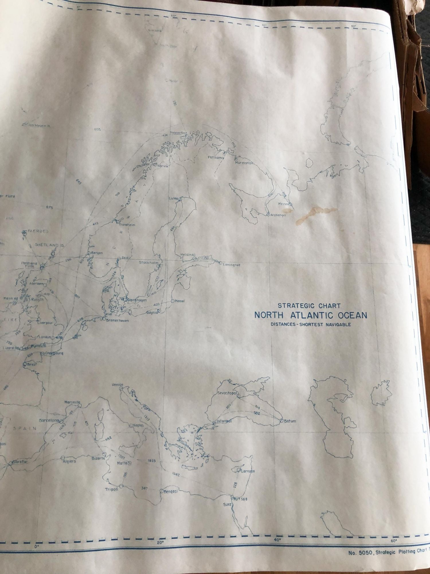
Strategic Plotting Chart of the North Atlantic Ocean giving shortest navigable distances ca. 1940
United States Oceanographic Office
Published by United States Oceanographic Office, Washington DC, 1940
Condition: Very good
From Carydale Books, Rhinebeck, NY, U.S.A.
Seller rating 4 out of 5 stars
![]()
AbeBooks Seller since 14 January 2013
Used -
Price:
� 37.03
Convert Currency
� 31.26
shipping from U.S.A. to United Kingdom
Destination, rates & speeds
Quantity: 1 available
Add to basket