
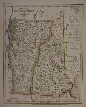
Neueste Karte von New Hampshire und Vermont 1846. Gestochene, grenzkolorierte Karte 37 x 30 cm. (aus Meyer's Handatlas, Nr. 99)
Published by Hildburghausen Amsterdam ua Bibliogr Institut, 1846
From Klaus Sch�neborn, W�rzburg, Germany
Seller rating 4 out of 5 stars
![]()
AbeBooks Seller since 6 November 2014