About this Item
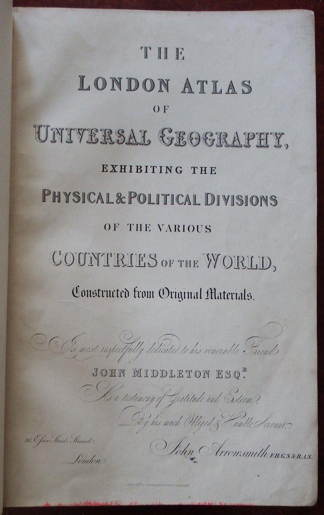
Folio (21 2/8 x 14 inches). Engraved title-page, Preface and Contents leaf. 52 fine double-page engraved maps with original hand-colour in outline and in part, including 2 maps of the world and of the 4 continents, as well as comprehensive regional maps of the rest of the world, including 6 of Australasia, and 11 of the Americas, 3 maps are with added folding extensions. Original publisher's half red morocco, cloth, gilt, maroon morocco lettering-piece on the front cover (a bit worn at the extremities and stained). Arrowsmith's beautiful, comprehensive, and up to the minute atlas, was first published in 1834 with 50 maps. Most of the maps in this later edition are dated 1832, with the most recent dated 1838, but many dated in between. The maps of Australia and America are: "Map of the Discoveries in Australia, Copied from the latest M.S. Surveys in the Colonial Office", 1834, including the tracks of explorers from Oxley in 1817 to Sturt in 1830, with insets of Australia in Asia and the Colony of Western Australia "Discoveries in Western Australia from documents furnished to the Colonial Office by J.S. Roe.", 1833, with five inset maps: Guildford, Augusta, Kelmscott, Perth and Fremantle. Sir James Stirling remarks of the colony that ".in general it is neither rich nor inviting". Showing the south-western tip of Western Australia with the explorations of Lt. W. Preston from Fremantle in 1830, and Dr. A. Collie south to the Bay du Geographe in 1829; east and north of Perth are explorations by Ens. R. Dale in Oct. 1830 and 1831 of the Swan, Helena and Avon valleys. Lt. A. Erskine's route in 1830 is parallel and north of Ensign Dale's 1830 track from the Swan to the Avon valleys; Capt. M. J. Currie's [1829] track going south from Cockburn Sound to Peel Inlet and returning appears; Govr. James Stirling and J. S. Roe's [1830] tracks examining the Preston and Collie rivers flowing into Leschenault Inlet are marked; a supposed track of convicts from King Georges Sound going north-west to the Vasse Inlet in 1830 appears; in the south-west region the tracks of J.G. Bussell, from Vasse Inlet south to Augusta and back, in 1831 are shown; an overland route established by Capt. T. Bannister's explorations from Fremantle to the south coast at Albany in Feb. 1831 appears; also in the vicinity of Albany the tracks of Dr. T. B. Wilson a naval surgeon, from Albany west as far as Wilson Inlet and north to the vicinity of present day Kendenup and back to Albany in 1829, are shown; in the same area Dr. A. Collie's track in April 1831 is sown as a circular route north and west of Wyndham; Govr. James Stirling and J. S. Roe's route northwest of Albany in 1831 is marked and their track in the H.M.S. Sulphur travelling east from Albany along the south coast to C. Knob; Dale's route from Albany north to the ranges and back in 1832 is marked; Lt. W. Preston's route is shown travelling west in 1831 along the south coast to Green Pt. by boat after disembarking from H.M.S. Sulphur just east of Rame Pt (Irwin Inlet) where his boat was wrecked. "Eastern Portion of Australia" with insets of Torres Strait and Van Diemens Land "Australia from Surveys made by Order of the British Government combined with those of D'Entrecasteaux, Baudin, Freycinet &c. &c", 1838 with an inset of the eastern hemisphere "Van Diemens Land", 1834 "Pacific Ocean", 1832 "America", 1835 "British North America", 1837 "Upper Canada &c", 1838 "Lower Canada, New Brunswick, Nova Scotia, Prince Edwards Id., Newfoundland, and a large portion of the United States", 1838, with an inset of Newfoundland "United States", 1834 "Mexico", 1832, set within a larger map of the Gulf and the lower United States, with an inset of Mexico "West Indies", 1832, with an inset of Tabasco "South America", 1834 "Colombia", 1834 "Peru & Bolivia", 1834 "Brazil", 1832 "The United Provinces of La Plata, Band Oriental, & Chile, is drawn principally from M.S.S. furnished by Woodbine Parish", 1834. John Arrowsmith was neph.
Seller Inventory # 72lib1363
Contact seller
Report this item


