About this Item
Gotha. Justus Perthus. [1896]. Folio mayor. [4] pp., 95 mapas, 201 pp. Encuadernación con las planas originales, en holandesa puntas, con nervios, hilos en frío y ruedas, filetes y título en oro. Guardas también nuevas. Alguno de los mapas con refuerzos en la parte posterior. Buen estado general. Publicado por el Instituto Geográfico de Justus Perthus de Gotha. Excelente impresión a color. Los mapas son a doble folio. Es la séptima edición corregida y aumentada. Cartografía. Viajes. Seller Inventory # 14074
Bibliographic Details
Title: 
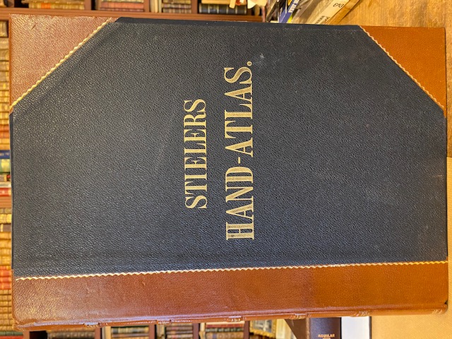
ADOLF STIELER HAND ATLAS, über alle theile ...
Store Description
Condiciones de venta: The customer must pay the transport
expenses. We accept the following forms of payment: VISA,
Eurocard, Mastercard. Cardholder's Name: (as appears on
card) Card Number: Card Expiration Date: security code: Or
you can also pay through a bank order: Bank BBVA,
Condiciones de envío: Orders usually ship within 2 business days. Shipping costs are based on books weighing 2.2 LB, or 1 KG. If your book order is heavy or oversized, we may contact you to let you know extra shipping is required.
Feel free to inquire in english.
Payment Methods
accepted by seller
Cash Bank/Wire Transfer