Items related to Peru GPS: world mapping project (Peru (1:1.500.000))
Synopsis
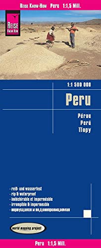
Highly tear-resistant and 100% waterproof map "Peru" from the series world mapping project, published by Reise Know-How Verlag. NEW: This map contains - as an aid in travel planning - photos of important sights including indication of the square in which the corresponding place is located. Travel know-how maps are characterized by particularly stable plastic paper, which is writable like paper, even with pencil. The cardboard envelope is removable, so the card can be easily inserted into any pocket. A protective cover is not required. The cartographic representation focuses on the most important information for travelers and is particularly easy to read. Instead of shading, colored height layers are used. Equipment: - Contour lines with altitude indications; - Coloured elevation layers; - Classified road network with distance indications; -Sights; - Detailed location index; - GPS-accurate; - latitude and longitude; - Five-language legend (german, English, French, Spanish, Russian). Handy format: 70x100 cm, printed on 2 sides. Languages: German, English, French, Spanish, Russian
"synopsis" may belong to another edition of this title.
From the Back Cover
Overzichtelijke landkaart met verhelderend kleurgebruik. Uitgebreid wegennetwerk en vermelding van toeristische bezienswaardigheden. Goed bruikbaar met GPS door gebruik te maken van de lengte- en breedtegraden. De legenda is in vijf talen: Duits, Engels, Frans, Spaans en de taal van het land. De kaarten van Reise Know-How zijn duurzaam en worden gedrukt op Polyart, super scheur- en watervast synthetisch papier zonder gifstoffen en volledig recyclebaar.
"About this title" may belong to another edition of this title.
- PublisherReise Know-How Verlag GmbH
- Publication date2014
- ISBN 10 3831772800
- ISBN 13 9783831772803
- BindingMap
- LanguageGerman
- Number of pages1
Search results for Peru GPS: world mapping project (Peru (1:1.500.000))

Stock Image
Peru GPS: world mapping project (Peru (1:1.500.000))
Seller: WorldofBooks, Goring-By-Sea, WS, United Kingdom
Seller rating 5 out of 5 stars
![]()
Paperback. Condition: Very Good. The book has been read, but is in excellent condition. Pages are intact and not marred by notes or highlighting. The spine remains undamaged. Seller Inventory # GOR011341089
Quantity: 1 available