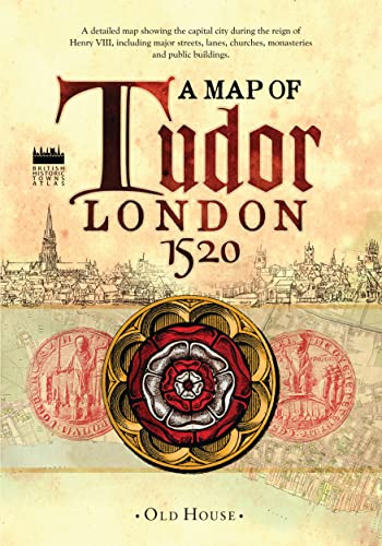
Items related to Historical Map of Tudor London, c.1520: A detailed...
Historical Map of Tudor London, c.1520: A detailed street map of... (Old House: British Historic Towns Atlas)

Synopsis
The capital city during the reign of Henry VIII around 1520, showing major streets, lanes, churches, great houses, monasteries and public buildings. This map reveals medieval London at its most impressive, before the city was overwhelmed by a massive population explosion.
"synopsis" may belong to another edition of this title.
About the Author
The Historic Towns Trust
"About this title" may belong to another edition of this title.
- PublisherOld House Books
- Publication date2013
- ISBN 10 1908402512
- ISBN 13 9781908402516
- BindingPoster
- LanguageEnglish
£ 35.25 shipping from U.S.A. to United Kingdom
Destination, rates & speedsBuy New
View this item£ 22.26 shipping from U.S.A. to United Kingdom
Destination, rates & speedsSearch results for Historical Map of Tudor London, c.1520: A detailed...
Historical Map of Tudor London, c.1520: A detailed street map of. (Old House: British Historic Towns Atlas)
Seller: Losaw Service, Lenox Dale, MA, U.S.A.
No Binding. Condition: Very Good. Paper cover has minor shelf wear, separated glue. Map is very good, looks like it hasn't been unfolded. Seller Inventory # M328
Quantity: 1 available
Historical Map of Tudor London, c.1520: A detailed street map of. (Old House: British Historic Towns Atlas)
Seller: Toscana Books, AUSTIN, TX, U.S.A.
Paperback. Condition: new. Excellent Condition.Excels in customer satisfaction, prompt replies, and quality checks. Seller Inventory # Scanned1908402512
Quantity: 1 available
