Items related to Philip's Street Atlas North Yorkshire
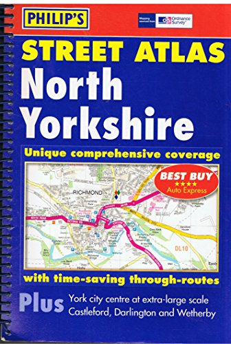

A brand-new colour atlas of North Yorkshire, giving the only comprehensive, detailed coverage of the region. No other atlas shows every street in North Yorkshire.The mapping is sourced from the Ordnance Survey and gives the user complete coverage of all urban and rural areas. The mapping is at a standard scale of 3 inches to 1 mile with less densely populated areas as 7 inches to 1 mile (2 inches and 5 inches to 1 mile in the pocket edition) and is complete with postcode boundaries.The atlas is ideally suited for both business and leisure use. There is a route-planning map at the front of the atlas. The main maps show every named road, street and lane clearly with through-routes highlighted. School locations are marked and emergency services, hospitals, police stations, car parks and rail and bus station locations are allfeatured. There is a comprehensive index of street names and postcodes including schools, industrial estates, hospitals, sports centres, etc. These are highlighted in red in the hardback and spiral atlases.Main map scale: 3 inches to 1 mile and 7 inches to 1 mile
"synopsis" may belong to another edition of this title.
Review:
'Best Buy' *****AUTO EXPRESS
Book Description:
The only detailed colour atlas that gives comprehensive coverage of the entire region - no other atlas shows every street in North Yorkshire.
"About this title" may belong to another edition of this title.
- PublisherPhilip's
- Publication date2005
- ISBN 10 0540087645
- ISBN 13 9780540087648
- BindingSpiral-bound
- Number of pages288
Other Popular Editions of the Same Title
Top Search Results from the AbeBooks Marketplace

Stock Image
Philip's Street Atlas North Yorkshire
Seller:
Rating
Book Description Paperback. Condition: Good. The book has been read but remains in clean condition. All pages are intact and the cover is intact. Some minor wear to the spine. Seller Inventory # GOR003033904
Buy Used
� 5
Convert currency
Stock Image
Philip's Street Atlas North Yorkshire
Published by
Octopus Publishing Group, United Kingdom, London
(2005)
ISBN 10: 0540087645
ISBN 13: 9780540087648
Used
Paperback
Quantity: 11
Seller:
Rating
Book Description Paperback. Condition: Very Good. A brand-new colour atlas of North Yorkshire, giving the only comprehensive, detailed coverage of the region. No other atlas shows every street in North Yorkshire.The mapping is sourced from the Ordnance Survey and gives the user complete coverage of all urban and rural areas. The mapping is at a standard scale of 3 inches to 1 mile with less densely populated areas as 7 inches to 1 mile (2 inches and 5 inches to 1 mile in the pocket edition) and is complete with postcode boundaries.The atlas is ideally suited for both business and leisure use. There is a route-planning map at the front of the atlas. The main maps show every named road, street and lane clearly with through-routes highlighted. School locations are marked and emergency services, hospitals, police stations, car parks and rail and bus station locations are allfeatured. There is a comprehensive index of street names and postcodes including schools, industrial estates, hospitals, sports centres, etc. These are highlighted in red in the hardback and spiral atlases.Main map scale: 3 inches to 1 mile and 7 inches to 1 mile. The book has been read, but is in excellent condition. Pages are intact and not marred by notes or highlighting. The spine remains undamaged. Seller Inventory # GOR001352468
Buy Used
� 45.52
Convert currency