
Items related to Atlas of the Second World War
Synopsis
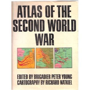
288pp, large format book. Ideal for the enthusiast, student and military historian - a comprehensive study of strategy and tactics through details maps, diagrams and explanatory text. There are 215 maps, covering every aspect of the land, sea and air operations 1939-45.
"synopsis" may belong to another edition of this title.
Search results for Atlas of the Second World War

Stock Image
Atlas of the Second World War
Published by
Orion Publishing Group, Limited, 1973
ISBN 10: 0297766422
ISBN 13: 9780297766421
Used
Hardcover
Seller: Better World Books, Mishawaka, IN, U.S.A.
Seller rating 5 out of 5 stars

Condition: Good. Cartography By Richard Natkiel (illustrator). 1st Edition USA. Pages intact with minimal writing/highlighting. The binding may be loose and creased. Dust jackets/supplements are not included. Stock photo provided. Product includes identifying sticker. Better World Books: Buy Books. Do Good. Seller Inventory # 375493-20
Stock Image
Atlas of the Second World War; Young, Peter
Seller: Sparrow Reads, Edgewood, NM, U.S.A.
Seller rating 5 out of 5 stars
Hardcover. Condition: Like New. Dust Jacket Included. Cartography By Richard Natkiel (illustrator). Fine/fine with jacket protected in mylar cover. 0. Seller Inventory # SA-RL-1/3/20
Seller Image
Atlas of the Second World War
Seller: WeBuyBooks, Rossendale, LANCS, United Kingdom
Seller rating 5 out of 5 stars
hardcover. Condition: Good. Cartography By Richard Natkiel (illustrator). Most items will be dispatched the same or the next working day. A copy that has been read but remains in clean condition. All of the pages are intact and the cover is intact and the spine may show signs of wear. The book may have minor markings which are not specifically mentioned. Seller Inventory # rev7528964615
Buy Used
£ 64.35
£ 11.78 shipping
Ships from United Kingdom to U.S.A.
Ships from United Kingdom to U.S.A.
Quantity: 1 available
Stock Image
Atlas of the Second World War;
Seller: BennettBooksLtd, Los Angeles, CA, U.S.A.
Seller rating 5 out of 5 stars
hardcover. Condition: New. Cartography By Richard Natkiel (illustrator). In shrink wrap. Looks like an interesting title! Seller Inventory # Q-0297766422