Items related to 2014 Collins Map of Europe
Synopsis
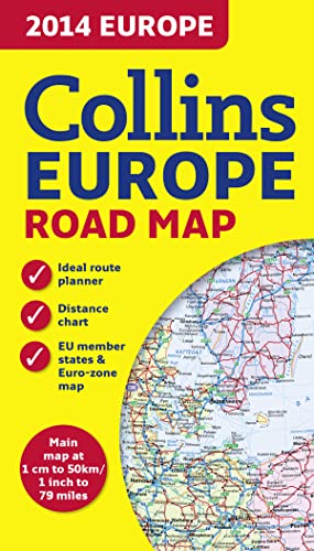
New edition of annually revised, politically coloured road map of Europe at a scale of 79 miles to 1 inch / 50km to 1cm (1: 5,000,000). Roads, motorways, European Route numbers, railways, airports, cities and towns are clearly shown, making the map ideal for route-finding and planning.
AREA OF COVERAGE
Covers the whole of Europe from the North Cape to Gibraltar and from Ireland to east of Moscow. Also includes Iceland and Cyprus.
MAIN FEATURES
• Fully revised and updated for 2014.
• Full index to place names (on reverse of sheet).
• Distance chart giving distances in kilometres between main towns.
• European Union map showing member states and the Eurozone.
• Internet links to further information on Europe.
• Key to approved country code abbreviations – GB, F, D etc.
• Map legend in English, French, German, Spanish and Italian.
"synopsis" may belong to another edition of this title.
About the Author
Explore the world through accurate and up-to-date mapping.
"About this title" may belong to another edition of this title.
Search results for 2014 Collins Map of Europe

Stock Image
2014 Collins Map of Europe
Seller: WorldofBooks, Goring-By-Sea, WS, United Kingdom
Seller rating 5 out of 5 stars
![]()
Paperback. Condition: Fair. A readable copy of the book which may include some defects such as highlighting and notes. Cover and pages may be creased and show discolouration. Seller Inventory # GOR011471330
Quantity: 1 available
Stock Image
2014 Collins Map of Europe
Seller: Reuseabook, Gloucester, GLOS, United Kingdom
Seller rating 5 out of 5 stars
![]()
map. Condition: Used; Very Good. Dispatched, from the UK, within 48 hours of ordering. Though second-hand, the book is still in very good shape. Minimal signs of usage may include very minor creasing on the cover or on the spine. Seller Inventory # CHL10304440
Quantity: 1 available