Items related to Aberdeen Streetfinder Map
Synopsis
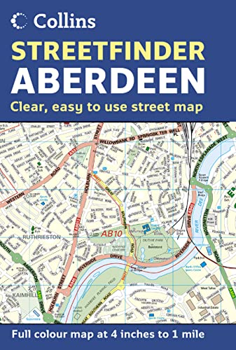
Scale: 1:15,840 (4 inches to 1 mile) with central Aberdeen at 1:9,750 (6.5 inches to 1 mile).
Detailed street map displaying a wealth of information without sacrificing clarity. Covers an extensive area of Aberdeen and the surrounding villages as a fold out map.
MAIN FEATURES
Detailed street plan covering a large area of Aberdeen. The map is packed with information including street and place names plus road classifications, car parks, schools, hospitals, post offices, police stations and a whole host of other detail.
INCLUDES
• Central area of city shown at extra large scale to aid clarity.
• Land use fully colour coded.
• Full index to street names.
• Includes postcode districts.
AREA OF COVERAGE
Extends from Dyce and the airport in the north to Charlestown in the south, and from Milltimber in the west to the coast in the east. It also includes insets of Peterculter, Westhill, Portlethen and Newtonhill.
This is a general purpose map; ideal for residents, businesses and visitors.
"synopsis" may belong to another edition of this title.
Synopsis
This map covers at a scale of 4 inches to 1 mile with central Aberdeen at 6.5 inches to 1 mile. It is a detailed street map displaying a wealth of information without sacrificing clarity. It covers an extensive area of Aberdeen and the surrounding villages as a fold out map. The map is packed with information including street and place names plus road classifications, car parks, schools, hospitals, post offices, police stations and a whole host of other detail. It includes: central area of city shown at extra large scale to aid clarity; land use fully colour coded; full index to street names; and postcode districts. The area of coverage extends from Dyce and the airport in the north to Charlestown in the south, and from Milltimber in the west to the coast in the east. It also includes insets of Peterculter, Westhill, Portlethen and Newtonhill. This is a general purpose map; ideal for residents, businesses and visitors.
"About this title" may belong to another edition of this title.
(No Available Copies)
Search Books: Create a WantCan't find the book you're looking for? We'll keep searching for you. If one of our booksellers adds it to AbeBooks, we'll let you know!
Create a Want