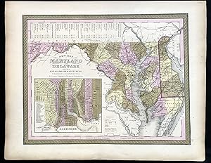
Vintage Books is a brick and mortar shop specializing in unique and collectible books, Antique maps and historical newspapers. We also stock a selection of general used
books for readers of any interest. If you can't find it, we'll
get it for you.
Visit Seller's Storefront
Seller's business information
Vintage Books and Fine Art
P.O. Box 372, Oxford, MD, 21654, U.S.A.
Terms of Sale:
We guarantee the condition of every book as it's described
on the Abebooks web sites. If you're dissatisfied with your
purchase (Incorrect Book/Not as Described/Damaged) or if the
order hasn't arrived, you're eligible for a refund within 30
days of the estimated delivery date. If you've changed your
mind about a book that you've ordered, please use the Ask
bookseller a question link to contact us and we'll respond
within 2 business days.
Vintage Books and Fine Art
P.O. Box 372
Oxford, Md 21654
i...
More Information
Shipping Terms:
Shipping costs are based on books weighing 2.2 LB, or 1 KG. If your book order is heavy or oversized, we may contact you to let you know extra shipping is required.
![]()


