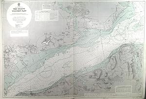
THE SOLENT WESTERN PART . Large sea chart of the Solent between Isle of Wight (between Cowes and Yarmouth) and the English coast (from Lymington to Calshot Castle), surveyed by J. P. Cary in 1929/30 and published with corrections by the
Admiralty Charts.
From Garwood & Voigt, Sevenoaks, United Kingdom
Seller rating 5 out of 5 stars
![]()
AbeBooks Seller since 25 November 2013
