Order Total (1 Item Items):
Shipping Destination:

Bodmin by Ordnance Survey (149 results)
Skip to main search results
Product Type
- All Product Types
- Books (127)
- Magazines & Periodicals
- Comics
- Sheet Music
- Art, Prints & Posters
- Photographs
- Maps (22)
-
Manuscripts &
Paper Collectibles
Condition
Binding
Collectible Attributes
- First Edition
- Signed
- Dust Jacket
- Seller-Supplied Images (42)
- Not Printed On Demand
Free Shipping
Seller Location
Seller Rating
-
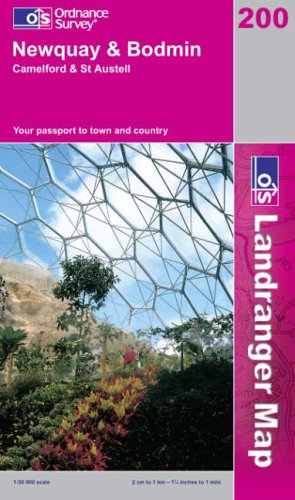
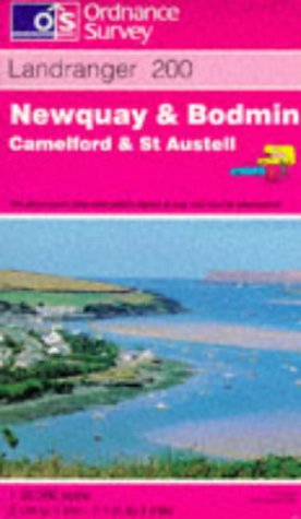
Newquay and Bodmin, Camelford and St.Austell (Landranger Maps)
Published by Ordnance Survey, 1999
ISBN 10: 0319224163ISBN 13: 9780319224168
Book
Map. Condition: Used; Good. Dispatched, from the UK, within 48 hours of ordering. This book is in good condition but will show signs of previous ownership. Please expect some creasing to the spine and/or minor damage to the cover. Damaged book. Slightly damaged in some way typically, a grazed corner or torn cover.
More buying choices from other sellers on AbeBooks
Used offers from � 0.79
-
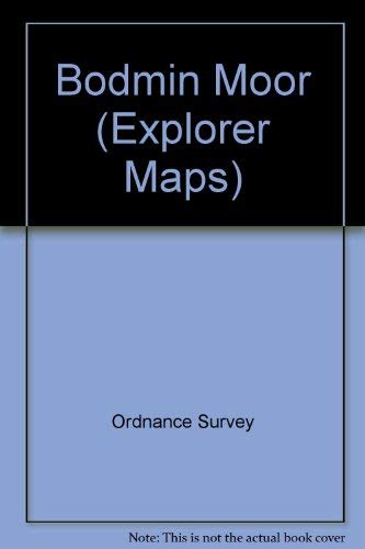
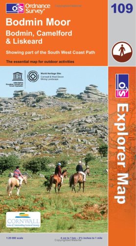
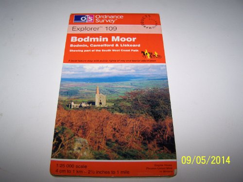
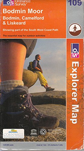
Bodmin Moor: Sheet 109 (Explorer Maps)
Published by Ordnance Survey, 2003
ISBN 10: 0319235327ISBN 13: 9780319235324
Book
Paperback. Condition: Very Good. The book has been read, but is in excellent condition. Pages are intact and not marred by notes or highlighting. The spine remains undamaged.
More buying choices from other sellers on AbeBooks
Used offers from � 1.16
-
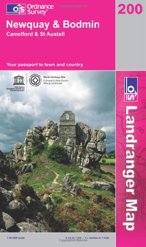
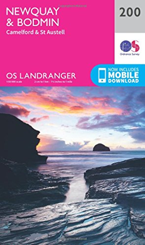
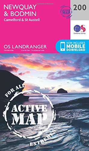
Newquay and Bodmin, Camelford and St.Austell: Sheet 200 (Landranger Maps)
Published by Ordnance Survey, 2002
ISBN 10: 0319228002ISBN 13: 9780319228005
Book
Paperback. Condition: Very Good. The book has been read, but is in excellent condition. Pages are intact and not marred by notes or highlighting. The spine remains undamaged.
More buying choices from other sellers on AbeBooks
Used offers from � 1.68
-
Newquay and Bodmin, Camelford and St.Austell (OS Landranger Map Series): Sheet 200
Published by Ordnance Survey, United Kingdom, Hants, 2008
ISBN 10: 0319229386ISBN 13: 9780319229385
Book
Paperback. Condition: Very Good. Perfect for day trips and short breaks, the OS Landranger Map series covers Great Britain with 204 detailed maps. Each map provides all the information you need to get to know your local area and includes places of interest, tourist information, picnic areas and camp sites, plus Rights of Way information for England and Wales. The book has been read, but is in excellent condition. Pages are intact and not marred by notes or highlighting. The spine remains undamaged.
More buying choices from other sellers on AbeBooks
Used offers from � 1.90
-
Bodmin Moor (OS Explorer Map): Sheet 109
Published by Ordnance Survey, 2008
ISBN 10: 0319240479ISBN 13: 9780319240472
Book
Paperback. Condition: Good. The book has been read but remains in clean condition. All pages are intact and the cover is intact. Some minor wear to the spine.
More buying choices from other sellers on AbeBooks
Used offers from � 2
-
Landranger Maps: Newquay, Bodmin and Surrounding Area Sheet 200 (OS Landranger Map)
Published by Ordnance Survey, 1992
ISBN 10: 0319222004ISBN 13: 9780319222003
Book
Paperback. Condition: Very Good. The book has been read, but is in excellent condition. Pages are intact and not marred by notes or highlighting. The spine remains undamaged.
More buying choices from other sellers on AbeBooks
Used offers from � 2.56
-
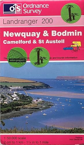
Landranger Map 200 Newquay and Bodmin, Camelford and St.Austell
Published by Ordnance Survey, 1997
ISBN 10: 0319223043ISBN 13: 9780319223048
Book
Map. Condition: Good. All orders are dispatched the following working day from our UK warehouse. Established in 2004, we have over 500,000 books in stock. No quibble refund if not completely satisfied.
More buying choices from other sellers on AbeBooks
Used offers from � 2.12
-
Condition: Good. 1974. Unpaginated. Pink pictorial paper cover. Sheet 200. Map is bright and clear with some light foxing and tanning. Slight creases to corners. Paper cover is lightly rub worn and thumbed with light shelf wear to edges and corners. Light creases to corners and spine.
-
Landranger (200) Newquay, Bodmin, Camelford & St Austell (OS Landranger Map)
Published by Ordnance Survey, 2016
ISBN 10: 0319262987ISBN 13: 9780319262986
Book
Paperback. Condition: Very Good. The book has been read, but is in excellent condition. Pages are intact and not marred by notes or highlighting. The spine remains undamaged.
More buying choices from other sellers on AbeBooks
New offers from � 8.99
Used offers from � 3.82
Also find Softcover
-
Bodmin Moor: Sheet 109 (Explorer Maps)
Published by Ordnance Survey, 1997
ISBN 10: 0319217418ISBN 13: 9780319217412
Book
Paperback. Condition: Very Good. The book has been read, but is in excellent condition. Pages are intact and not marred by notes or highlighting. The spine remains undamaged.
More buying choices from other sellers on AbeBooks
Used offers from � 3.92
-
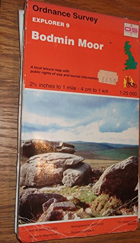
Explorer Map: Bodmin Moor Sheet No. 9 (OS Explorer Map)
Published by Ordnance Survey
ISBN 10: 0319217094ISBN 13: 9780319217092
Book
Paperback. Condition: Very Good. The book has been read, but is in excellent condition. Pages are intact and not marred by notes or highlighting. The spine remains undamaged.
-
![Seller image for LR200 Newquay Bodmin Camelford & St Aust [Map ] for sale by booksXpress](https://pictures.abebooks.com/inventory/md/md31732136489.jpg)
LR200 Newquay Bodmin Camelford & St Aust [Map ]
Published by Ordnance Survey, 2020
ISBN 10: 0319263940ISBN 13: 9780319263945
Book
No Binding. Condition: new.
More buying choices from other sellers on AbeBooks
New offers from � 10.82
Used offers from � 20.14
Also find Softcover
-
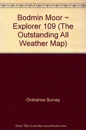
Bodmin Moor ~ Explorer 109 (The Outstanding All Weather Map)
Published by Ordnance Survey, 2005
ISBN 10: 0755819098ISBN 13: 9780755819096
Book
Paperback. Condition: Very Good. The book has been read, but is in excellent condition. Pages are intact and not marred by notes or highlighting. The spine remains undamaged.
-
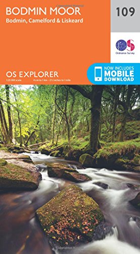
Bodmin Moor Map | Bodmin, Camelford & Liskeard | Ordnance Survey | OS Explorer Map 109 | England | Walks | Hiking | Maps | Adventure
Published by Ordnance Survey, United Kingdom, Hants, 2015
ISBN 10: 0319243117ISBN 13: 9780319243114
Book
Paperback. Condition: Very Good. OS Explorer is the Ordnance Survey's most detailed map and is recommended for anyone enjoying outdoor activities like walking, horse riding and off-road cycling. The OS Explorer range now includes a digital version of the paper map, accessed through the OS smartphone app, OS Maps. Providing complete GB coverage the series details essential information such as youth hostels, pubs and visitor information as well as rights of way, permissive paths and bridleways. The book has been read, but is in excellent condition. Pages are intact and not marred by notes or highlighting. The spine remains undamaged.
More buying choices from other sellers on AbeBooks
New offers from � 9.55
Used offers from � 7.16
Also find Softcover
-

Pathfinder Maps: Bodmin Moor (East) and Kelly Bray Sheet 1339 (SX27/37)
Published by Ordnance Survey, Southampton, 1988
ISBN 10: 0319213390ISBN 13: 9780319213391
Map
Soft cover. Condition: Very Good. No Jacket. Revised Edition. A decent,clean paper,with no inscriptions.".1/2" to 1Mile.4cm to 1 Kilometer.
More buying choices from other sellers on AbeBooks
Used offers from � 4
-
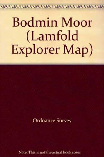
Bodmin Moor (Lamfold Explorer Map)
Published by Outstanding UK Limited, 2000
ISBN 10: 0755803027ISBN 13: 9780755803026
Map
Map. Condition: Brand New. 8.94x5.24x1.38 inches. In Stock.
More buying choices from other sellers on AbeBooks
New offers from � 2.62
-
Bodmin Moor (Explorer Maps): Sheet 109 (OS Explorer Map)
Published by Ordnance Survey, 1895
ISBN 10: 0319236951ISBN 13: 9780319236956
Book
Paperback. Condition: Very Good. The book has been read, but is in excellent condition. Pages are intact and not marred by notes or highlighting. The spine remains undamaged.
More buying choices from other sellers on AbeBooks
Used offers from � 8.24
-
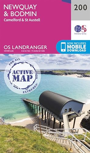
Landranger Active (200) Newquay, Bodmin, Camelford & St Austell (OS Landranger Active Map)
Published by Ordnance Survey, 2016
ISBN 10: 0319475239ISBN 13: 9780319475232
Book
Condition: Good. Most items will be dispatched the same or the next working day. Ex library copy with usual stamps & stickers.
-
Condition: As New. Unread book in perfect condition.
More buying choices from other sellers on AbeBooks
New offers from � 16.87
Used offers from � 15.13
Also find Softcover
-
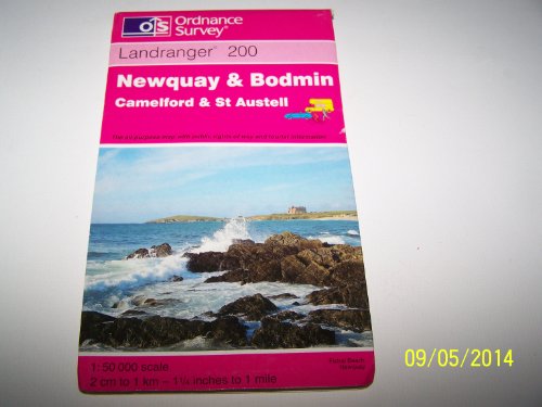
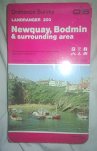
Landranger sheet 200: Newquay & Bodmin
Published by Ordnance Survey, 1997
Seller: Acanthophyllum Books, Holywell, FLINT, United Kingdom
Association Member: PBFA
Seller Rating:

Map
Folded map. Condition: V.g. Scale 1:50,000. Little used. Eden Project stickers on front cover. Weight: 1 Language: English.
-
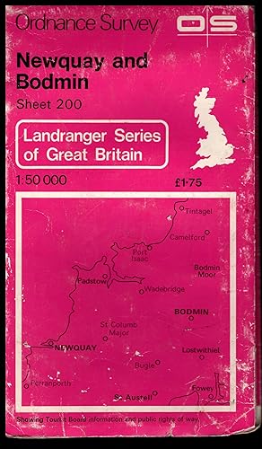
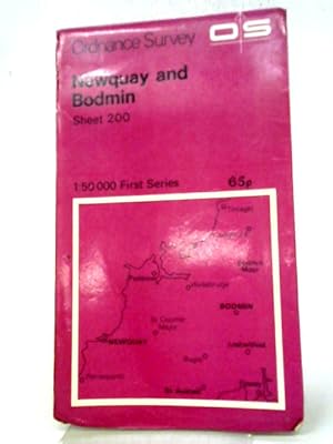
Ordnance Survey Map: NEWQUAY & BODMIN 1974 The Landranger Series of Great Britain: Sheet No.200 1:50,000
Published by Ordnance Survey, Southampton, England, Southampton, Hampshure, England, 1974
Map
Soft cover. Condition: Very Good. No Jacket. ## Ordnance Survey Map: NEWQUAY & BODMIN 1974 The Landranger Series of Great Britain: Sheet No.200 1:50,000 ## ## Please note: The map's condition, not its cover, determines its categorisation. All maps are pre-owned and may show signs of wear if folded incorrectly. The images displayed on our site are of our actual maps in stock, not generic ones. They are allowing you to assess the condition of the cover before purchase. While the cover may exhibit various degrees of creasing, wear and tear, or damage, the maps are generally in good condition and categorised accordingly. Please refer to the provided images for more details.## ## THIS MAP: Categorised as VERY GOOD. The 1974 edition was revised in 1970, including low water mark plotted from air photographs dated 1969-70. Revised for motor roads and other significant changes 1972 and 1977 ## Minor repairs to map folds## ## The paper slipcover has general wear and tear, proportional to age. The detailing of these early maps is remarkable. ## PLEASE READ ON for interesting information and details. SEE THE IMAGES. ### ## Ordnance Survey (O.S.) is the national mapping agency of Great Britain, producing detailed and accurate maps for various purposes. Its origins date back to the 18th century as a military project to survey the Scottish Highlands and the southern coasts of England in response to the Jacobite rebellion and the French Revolution. The name Ordnance Survey reflects its connection to the Board of Ordnance, the defence ministry of the time.## ## One of the pioneers of O.S. was William Roy, a young engineer who conducted the first small-scale survey of Scotland from 1747 to 1755, using simple instruments such as compasses and chains. He later undertook a more ambitious project to geodetically connect the Royal Observatories of Greenwich and Paris, using a sophisticated theodolite by Jesse Ramsden. This project, which started in 1784 and lasted until 1790, laid the foundation for the trigonometrical survey of Britain, which aimed to create a network of accurately measured triangles across the country.## ## The trigonometrical survey, also known as the Principal Triangulation, was officially initiated in 1791, marking the birth of O.S. It involved measuring baselines on flat ground, such as Hounslow Heath, and then extending the triangles to hills and mountains, where observatories were built to house the theodolites. The surveyors had to deal with various challenges like weather, terrain, visibility, and accuracy. The survey was completed in 1853, covering over 300,000 square kilometres and 5,000 stations.## ## The trigonometrical survey provided the basis for the first accurate map of Britain, published by O.S. in 1801. It was a one-inch-to-the-mile map of Kent, showing roads, rivers, hills, settlements, and land cover. It was followed by maps of other counties and regions, using different scales and symbols. O.S. also produced maps of overseas British colonies, such as India, Africa, and the Caribbean, under the Directorate of Colonial Surveys and the Directorate of Overseas Surveys.## ##Over the years, O.S. has evolved and adapted to the changing needs and technologies of mapping. It has introduced new methods and standards of surveying, such as levelling, photogrammetry, aerial photography, and satellite positioning. It has diversified its products and services, such as digital mapping, online platforms, mobile apps, and geospatial data. Today, O.S. is one of the world's leading mapping agencies, aiming to provide the most up-to-date and comprehensive geospatial information about Great Britain.## ### INTERNATIONAL BUYERS: Please Note. FREE SHIPPING IS FOR THE UK ONLY. Please get in touch with me for a shipping quotation. ####.
-
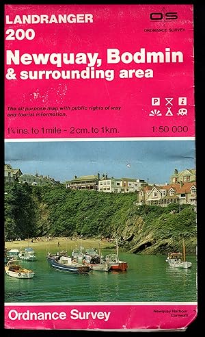
Ordnance Survey Map: NEWQUAY, BODMIN AND SURROUNDING AREA 1981 The Landranger Series of Great Britain: Sheet No.200 1:50,000
Published by Ordnance Survey, Southampton, England, Southampton, Hampshure, England, 1981
Map
Soft cover. Condition: Very Good. No Jacket. ## Ordnance Survey Map: NEWQUAY, BODMIN AND SURROUNDING AREA 1981 The Landranger Series of Great Britain: Sheet No.200 1:50,000 ## ## Please note: The map's condition, not its cover, determines its categorisation. All maps are pre-owned and may show signs of wear if folded incorrectly. The images displayed on our site are of our actual maps in stock, not generic ones. They are allowing you to assess the condition of the cover before purchase. While the cover may exhibit various degrees of creasing, wear and tear, or damage, the maps are generally in good condition and categorised accordingly. Please refer to the provided images for more details.## ## THIS MAP: Categorised as VERY GOOD. The 1981 edition was revised in 1980. The low water mark plotted from air photographs dated 1968-72 ## ## The paper slipcover has general wear and tear, proportional to age. The detailing of these early maps is remarkable. ## PLEASE READ ON for interesting information and details. SEE THE IMAGES. ### ## Ordnance Survey (O.S.) is the national mapping agency of Great Britain, producing detailed and accurate maps for various purposes. Its origins date back to the 18th century as a military project to survey the Scottish Highlands and the southern coasts of England in response to the Jacobite rebellion and the French Revolution. The name Ordnance Survey reflects its connection to the Board of Ordnance, the defence ministry of the time.## ## One of the pioneers of O.S. was William Roy, a young engineer who conducted the first small-scale survey of Scotland from 1747 to 1755, using simple instruments such as compasses and chains. He later undertook a more ambitious project to geodetically connect the Royal Observatories of Greenwich and Paris, using a sophisticated theodolite by Jesse Ramsden. This project, which started in 1784 and lasted until 1790, laid the foundation for the trigonometrical survey of Britain, which aimed to create a network of accurately measured triangles across the country.## ## The trigonometrical survey, also known as the Principal Triangulation, was officially initiated in 1791, marking the birth of O.S. It involved measuring baselines on flat ground, such as Hounslow Heath, and then extending the triangles to hills and mountains, where observatories were built to house the theodolites. The surveyors had to deal with various challenges like weather, terrain, visibility, and accuracy. The survey was completed in 1853, covering over 300,000 square kilometres and 5,000 stations.## ## The trigonometrical survey provided the basis for the first accurate map of Britain, published by O.S. in 1801. It was a one-inch-to-the-mile map of Kent, showing roads, rivers, hills, settlements, and land cover. It was followed by maps of other counties and regions, using different scales and symbols. O.S. also produced maps of overseas British colonies, such as India, Africa, and the Caribbean, under the Directorate of Colonial Surveys and the Directorate of Overseas Surveys.## ##Over the years, O.S. has evolved and adapted to the changing needs and technologies of mapping. It has introduced new methods and standards of surveying, such as levelling, photogrammetry, aerial photography, and satellite positioning. It has diversified its products and services, such as digital mapping, online platforms, mobile apps, and geospatial data. Today, O.S. is one of the world's leading mapping agencies, aiming to provide the most up-to-date and comprehensive geospatial information about Great Britain.## ### INTERNATIONAL BUYERS: Please Note. FREE SHIPPING IS FOR THE UK ONLY. Please get in touch with me for a shipping quotation. ####.
-
Ordnance Survey Map: NEWQUAY & BODMIN 1972 The Landranger Series of Great Britain: Sheet No.200 1:50,000
Published by Ordnance Survey, Southampton, England, Southampton, Hampshure, England, 1972
Map
Soft cover. Condition: Very Good. No Jacket. ## Ordnance Survey Map: NEWQUAY & BODMIN 1972 The Landranger Series of Great Britain: Sheet No.200 1:50,000 ## ## Please note: The map's condition, not its cover, determines its categorisation. All maps are pre-owned and may show signs of wear if folded incorrectly. The images displayed on our site are of our actual maps in stock, not generic ones. They are allowing you to assess the condition of the cover before purchase. While the cover may exhibit various degrees of creasing, wear and tear, or damage, the maps are generally in good condition and categorised accordingly. Please refer to the provided images for more details.## ## THIS MAP: Categorised as VERY GOOD. The 1972 edition was revised in 1970, including low water mark plotted from air photographs dated 1969-70. Revised for motor roads and other significant changes 1972 ## Minor repairs to map folds## ## The paper slipcover has general wear and tear, proportional to age. The detailing of these early maps is remarkable. ## PLEASE READ ON for interesting information and details. SEE THE IMAGES. ### ## Ordnance Survey (O.S.) is the national mapping agency of Great Britain, producing detailed and accurate maps for various purposes. Its origins date back to the 18th century as a military project to survey the Scottish Highlands and the southern coasts of England in response to the Jacobite rebellion and the French Revolution. The name Ordnance Survey reflects its connection to the Board of Ordnance, the defence ministry of the time.## ## One of the pioneers of O.S. was William Roy, a young engineer who conducted the first small-scale survey of Scotland from 1747 to 1755, using simple instruments such as compasses and chains. He later undertook a more ambitious project to geodetically connect the Royal Observatories of Greenwich and Paris, using a sophisticated theodolite by Jesse Ramsden. This project, which started in 1784 and lasted until 1790, laid the foundation for the trigonometrical survey of Britain, which aimed to create a network of accurately measured triangles across the country.## ## The trigonometrical survey, also known as the Principal Triangulation, was officially initiated in 1791, marking the birth of O.S. It involved measuring baselines on flat ground, such as Hounslow Heath, and then extending the triangles to hills and mountains, where observatories were built to house the theodolites. The surveyors had to deal with various challenges like weather, terrain, visibility, and accuracy. The survey was completed in 1853, covering over 300,000 square kilometres and 5,000 stations.## ## The trigonometrical survey provided the basis for the first accurate map of Britain, published by O.S. in 1801. It was a one-inch-to-the-mile map of Kent, showing roads, rivers, hills, settlements, and land cover. It was followed by maps of other counties and regions, using different scales and symbols. O.S. also produced maps of overseas British colonies, such as India, Africa, and the Caribbean, under the Directorate of Colonial Surveys and the Directorate of Overseas Surveys.## ##Over the years, O.S. has evolved and adapted to the changing needs and technologies of mapping. It has introduced new methods and standards of surveying, such as levelling, photogrammetry, aerial photography, and satellite positioning. It has diversified its products and services, such as digital mapping, online platforms, mobile apps, and geospatial data. Today, O.S. is one of the world's leading mapping agencies, aiming to provide the most up-to-date and comprehensive geospatial information about Great Britain.## ### INTERNATIONAL BUYERS: Please Note. FREE SHIPPING IS FOR THE UK ONLY. Please get in touch with me for a shipping quotation. ####.
-

Bodmin and Launceston : One-Inch Map of Great Britain Sheet 186
Published by Ordnance Survey, London, UK, 1967
Book
Soft cover. Condition: Very Good. Seventh Series. Clean white/cream and red covers. Moderate wear to covers' corners which otherwise very clean. Very clean colour paper folded map.
-
LANDRANGER MAP 200, Newquary and Bodmin, 1:50 000
Published by ORDNANCE SURVEY, Southampton, 1974
Seller: K Books Ltd ABA ILAB, York, YORKS, United Kingdom
Association Member: ABA ILAB PBFA
Seller Rating:

Book
Soft Back. Condition: Very Good. No Jacket. Reprint. This is a very good copy of this OS Landranger map, covering the Newquary and Bodmin area of England . SOFT COVER, NO JACKET, NO MARKINGS, EXCELLENT CONDITION, SPLENDID VALUE. ORDNANCE SURVEY MAP OFNEWQUAY AND BODMIN MOOR.
-
NEWQUAY AND BODMIN, ORDNANCE SURVEY, SHEET 200 , ORDNANCE SURVEY MAP, 1: 50 000
Published by ORDNANCE SURVEY, Southampton
Seller: K Books Ltd ABA ILAB, York, YORKS, United Kingdom
Association Member: ABA ILAB PBFA
Seller Rating:
Map
Soft cover. Condition: Very Good. No Jacket. Reprint. This is a slightly worn copy of this OS MAP , . Folded with original printed covers as issued. . SOFT COVER, NO JACKET, N0 MARKINGS, EXCELLENT CONDITION, SPLENDID VALUE . NEWQUAY AND BODMIN, ORDNANCE SURVEY, SHEET 200 , ORDNANCE SURVEY MAP, 1: 50 000.
-
OS Landranger Active Map 200 Newquay, Bodmin, Camelford & St Austell (OS Landranger Active Map)
Published by Ordnance Survey, 2020
ISBN 10: 0319475794ISBN 13: 9780319475799
Book
Map. Condition: New. BRAND NEW ** SUPER FAST SHIPPING FROM UK WAREHOUSE ** 30 DAY MONEY BACK GUARANTEE.
More buying choices from other sellers on AbeBooks
New offers from � 14.44
-
Map. Condition: Good. Worn covers, map unmarked. Orders received by 3pm Sent from the UK that weekday.
-
Map. Condition: Good. Covers worn, map unmarked. Orders received by 3pm Sent from the UK that weekday.
-
Map. Condition: Good. Light wear to the covers, map unmarked. Orders received by 3pm Sent from the UK that weekday.