Items related to Bala and Lake Vyrnwy (Cassini Old Series Historical...

Perfect for day trips and short breaks, the OS Landranger Map series covers Great Britain with 204 detailed maps. Each map provides all the information you need to get to know your local area and includes places of interest, tourist information, picnic areas and camp sites, plus Rights of Way information for England and Wales.
"synopsis" may belong to another edition of this title.
- PublisherCassini Publishing Ltd
- Publication date2006
- ISBN 10 1847360483
- ISBN 13 9781847360489
- BindingMap
- Number of pages1
Buy New
Learn more about this copy
� 0.95
Shipping:
� 8
From United Kingdom to U.S.A.
Top Search Results from the AbeBooks Marketplace
Seller Image
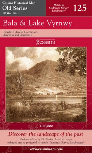
BALA & LAKE VYRNWY, including Llanfair Caereinion, Llanfyllin and Llangynog. (Cassini Old Series Historical Map OSE 125. 1836-1840). Matching ORDNANCE SURVEY LANDRANGER No. 125. 1:50,000.
Published by
Cassini Publishing Limited. Southampton, Hampshire. 2006.
(2006)
ISBN 10: 1847360483
ISBN 13: 9781847360489
New
Quantity: 5
Seller:
Rating
Book Description Condition: new. (Map, 2006). (1840) 2006 1st edition thus. Folding map in red card covers. This map includes Llanfair Caereinion, Llanfyllin, and Llangynog. Fine new copy. "The Cassini Old Series provides a fascinating snapshot of the human geography of Britain in the mid-19th century. These maps are taken from the Ordnance Survey One-Inch 'Old Series' sheets, surveyed between 1791 and1874 and published - with many revisions and new editions - between 1805 and 1874." The original series of maps were 1" to the mile, and surveyed on a grid different from that employed today. Many of the sheets were printed with four separate copper plates each from separate surveys, the edges of which usually did not quite match. Reprints of all these sheets have been available in recent times. In this new series, however, the 1" maps have been reprojected onto the OS National Grid so that all the edges match up. This makes the whole country into one single sheet from which positions can be read off in National Grid numbers. This single sheet has been redivided, creating new sheets each corresponding precisely to a current Landranger map. The scale is now larger, at 1:50,000. This new series is uniquely useful for exploring the land and accurately pinpointing where things are, or used to be. Uniquely useful for comparisons with current maps on the kitchen table, too. Much to be recommended. PREVIOUS PRICE �9.99. Seller Inventory # 31568
Buy New
� 0.95
Convert currency
Stock Image
Bala and Lake Vyrnwy (Cassini Historical Map, Old Series)
Published by
Cassini Publishing Ltd
(2006)
ISBN 10: 1847360483
ISBN 13: 9781847360489
New
Quantity: 1
Seller:
Rating
Book Description Map. Condition: Brand New. 1 pages. In Stock. Seller Inventory # __1847360483
Buy New
� 2.99
Convert currency