Items related to Crawley Street Atlas (A-Z Street Atlas)
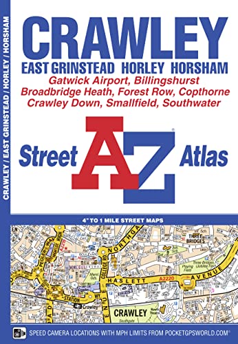

This A-Z map of Crawley, East Grinstead, Horley and Horsham features 34 street map pages covering: Ashurst Wood, Billingshurst, Broadbridge Heath, Charlwood, Copthorne, Crawley Down, Felbridge, Forest Row, London Gatwick Airport, Mannings Heath, Meath Green, Smallfield, Southwater, Tinsley Green and Warnham. Postcode districts, one-way streets, safety camera locations with speed limits and park and ride sites are featured on the maps. The index section lists streets; selected flats, walkways and places of interest; place, area and station names; hospitals and hospices covered by this map.
"synopsis" may belong to another edition of this title.
Product Description:
Title: Crawley Street Atlas <>Binding: Paperback <>Author: GEOGRAPHERS <>Publisher: GEOGRAPHERS
"About this title" may belong to another edition of this title.
- PublisherGeographers A-Z Map Company Ltd
- Publication date2016
- ISBN 10 1843488949
- ISBN 13 9781843488941
- BindingPaperback
- Number of pages56
Top Search Results from the AbeBooks Marketplace

Stock Image
Crawley A-Z Street Atlas
Published by
Geographers? A-Z Map Co Ltd
(2016)
ISBN 10: 1843488949
ISBN 13: 9781843488941
New
Softcover
Quantity: 1
Seller:
Rating
Book Description Condition: New. Book is in NEW condition. Seller Inventory # 1843488949-2-1
Buy New
� 18.96
Convert currency