Items related to Oxford Street Atlas
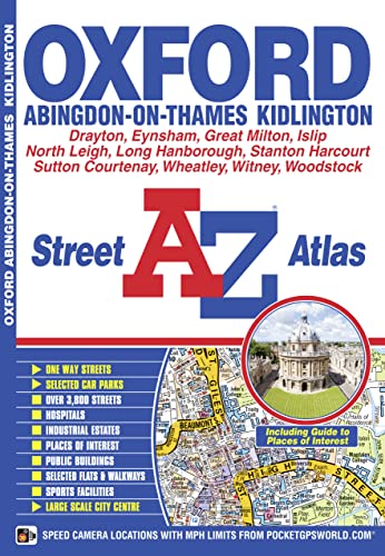

This new A-Z map of Oxford is a full colour street atlas and for the first time, features a places of interest guide. Now with extended coverage, this publication has 48 pages of continuous street mapping to include:
- Woodstock
- Kidlington
- Wheatley
- Abingdon
- Drayton
- Eynsham
- North Leigh
In addition, there is seperate coverage of Witney, Ducklington and Stanton Harcourt, and a large scale map of Oxford City Centre.
Postcode districts, one-way streets and safety camera locations with their maximum speed are also featured on the mapping.
The places of interest guide is both informative and helpful with information about:
- Tourist Information Centres
- Tours and boat trips
- Boat and punt hire
- Selected places of interest
- Oxford University Colleges
The index section lists streets, selected flats, walkways and places of interest, place, area and station names, hospitals and hospices covered by this atlas.
This atlas is ideal, not only for navigating around Oxford, but for exploring this historic city.
"synopsis" may belong to another edition of this title.
- PublisherGeographers A-Z Map Company
- Publication date2011
- ISBN 10 1843488108
- ISBN 13 9781843488101
- BindingPaperback
- Edition number3
- Number of pages84
Top Search Results from the AbeBooks Marketplace

Stock Image
Oxford Street Atlas
Published by
Geographers? A-Z Map Co Ltd
(2015)
ISBN 10: 1843488108
ISBN 13: 9781843488101
Used
Paperback
Quantity: 8
Seller:
Rating
Book Description Paperback. Condition: Very Good. The book has been read, but is in excellent condition. Pages are intact and not marred by notes or highlighting. The spine remains undamaged. Seller Inventory # GOR005080900
Buy Used
� 3.98
Convert currency
Stock Image
Oxford Street Atlas
Published by
Geographers? A-Z Map Co Ltd
(2015)
ISBN 10: 1843488108
ISBN 13: 9781843488101
Used
Paperback
Quantity: 1
Seller:
Rating
Book Description Paperback. Condition: Good. The book has been read but remains in clean condition. All pages are intact and the cover is intact. Some minor wear to the spine. Seller Inventory # GOR004258343
Buy Used
� 3.98
Convert currency
Seller Image
Oxford Street Atlas
Published by
Geographers A-Z Map Company
(2015)
ISBN 10: 1843488108
ISBN 13: 9781843488101
Used
Softcover
Quantity: 1
Seller:
Rating
Book Description Condition: VeryGood. Most items will be dispatched the same or the next working day. A copy that has been read, but is in excellent condition. Pages are intact and not marred by notes or highlighting. The spine remains undamaged. Seller Inventory # wbs2688158845
Buy Used
� 3.94
Convert currency