Items related to London Street Atlas (spiral) (A-Z Street Atlas)
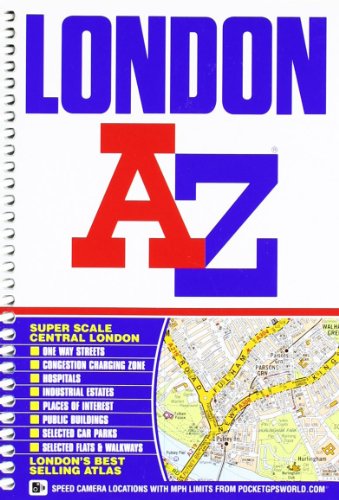

This A-Z map of London is a full colour, spiral bound street atlas featuring 155 pages of continuous street mapping that covers an area extending to:
- Barnet
- Chingford
- Dagenham
- Sidcup
- Chislehurst
- Farnborough
- Croydon
- Surbiton
- Shepperton
- Heathrow Airport (Terminals 1-5)
- Ruislip
- Stanmore
In addition, there is a large scale street map section of central London which extends north to Regent's Park and Shoreditch, south to Chelsea and Vauxhall, west to Hyde Park and east to Bermondsey.
Postcode districts, one-way streets, safety camera locations with their maximum speed limit and the Congestion Charging Zone are all featured on the mapping.
Also included is:
- An overview map of the Congestion Charging Zone
- A West End Theatre map
- The London Connections rail services map
- The full London Underground map
The comprehensive index lists streets, selected flats, walkways and places of interest, place, area and junction names. There are separate index listings for both hospitals, walk-in centres and hospices and for the National Rail, London Tramlink, Docklands Light Railway, London Underground and Overground stations, and River Bus piers covered by this atlas.
"synopsis" may belong to another edition of this title.
- PublisherGeographers A-Z Map Company
- Publication date2008
- ISBN 10 1843486032
- ISBN 13 9781843486039
- BindingSpiral-bound
- Number of pages448
- Rating
Buy New
Learn more about this copy
� 43.47
Shipping:
� 3.20
Within U.S.A.
Top Search Results from the AbeBooks Marketplace
Stock Image
London Street Atlas AZ Spiral***
Published by
Geographers a-Z
(2012)
ISBN 10: 1843486032
ISBN 13: 9781843486039
New
Paperback
Quantity: 1
Seller:
Rating
Book Description Paperback. Condition: new. Geographers' A-Z Map Company (illustrator). New. Fast Shipping and good customer service. Seller Inventory # Holz_New_1843486032
Buy New
� 43.47
Convert currency
Stock Image
London Street Atlas AZ Spiral***
Published by
Geographers a-Z
(2012)
ISBN 10: 1843486032
ISBN 13: 9781843486039
New
Paperback
Quantity: 1
Seller:
Rating
Book Description Paperback. Condition: new. Geographers' A-Z Map Company (illustrator). New. Seller Inventory # Wizard1843486032
Buy New
� 44.44
Convert currency
Stock Image
London Street Atlas AZ Spiral***
Published by
Geographers a-Z
(2012)
ISBN 10: 1843486032
ISBN 13: 9781843486039
New
Paperback
Quantity: 1
Seller:
Rating
Book Description Paperback. Condition: new. Geographers' A-Z Map Company (illustrator). New Copy. Customer Service Guaranteed. Seller Inventory # think1843486032
Buy New
� 80.55
Convert currency
Stock Image
LONDON STREET ATLAS AZ SPIRAL***
Published by
Geographers a-Z
(2012)
ISBN 10: 1843486032
ISBN 13: 9781843486039
New
Softcover
Quantity: 1
Seller:
Rating
Book Description Condition: New. Geographers' A-Z Map Company (illustrator). New. In shrink wrap. Looks like an interesting title! 1.1. Seller Inventory # Q-1843486032
Buy New
� 80.40
Convert currency
Stock Image
London Street Atlas AZ Spiral***
Published by
Geographers a-Z
(2012)
ISBN 10: 1843486032
ISBN 13: 9781843486039
New
Spiral-bound
Quantity: 1
Seller:
Rating
Book Description Spiral-bound. Condition: New. Geographers' A-Z Map Company (illustrator). Brand New!. Seller Inventory # VIB1843486032
Buy New
� 104.22
Convert currency