Items related to Rossall 1909: Lancashire Sheet 43.05 (Old Ordnance...
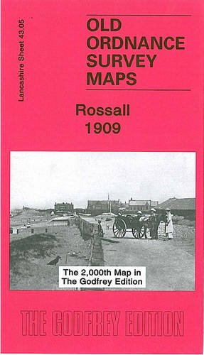

Here are the details of maps for Rossall: Lancashire Sheet 43.05 Rossall 1909 - published 2006; intro. by Alan Godfrey. ISBN.978-1-84151-948-7 This detailed map is double-sided for maximum coverage. The main map covers the area east of Rossall, from Fleetwood Farm eastward to Fleetwood Salt Works and the Ammonia Soda Works, both owned by the United Alkali Co and later part of ICI. Though this is a largely empty landscape, features include Burn Hall, Burn Naze Halt - a platform-less station opened in about 1908, the Preston & Wyre line plus the old direct line to Fleetwood (by 1909 called Burn Naze Siding). On the reverse is adjacent sheet 42.08 which covers Rossall School and also the northern part of Cleveleys. The map links up with Lancashire sheet 43.09 Thornton Cleveleys to the south.
"synopsis" may belong to another edition of this title.
Synopsis:
An Ordnance Survey map covering Rossall in 1909. It includes an historical introduction by Alan Godfrey.
"About this title" may belong to another edition of this title.
- PublisherAlan Godfrey Maps
- Publication date2006
- ISBN 10 1841519480
- ISBN 13 9781841519487
- BindingMap
Buy New
Learn more about this copy
� 2.75
Shipping:
� 30.45
From United Kingdom to U.S.A.
Top Search Results from the AbeBooks Marketplace
Stock Image
Rossall 1909: Lancashire Sheet 43.05
Seller:
Rating
Book Description No Binding. Condition: New. No Jacket. Here are the details of maps for Rossall: Lancashire Sheet 43.05 Rossall 1909 - published 2006; intro by Alan Godfrey. ISBN.978-1-84151-948-7 This detailed map is double-sided for maximum coverage. One map covers Rossall School (where the author was a pupil) and also the northern part of Cleveleys. The other covers the area east of Rossall, from Fleetwood Farm eastward to Fleetwood Salt Works and the Ammonia Soda Works, both owned by the United Alkali Co and later part of ICI. Though this is a largely empty landscape, features include Burn Hall, Burn Naze Halt (a platform-less station opened in about 1908), the Preston & Wyre line plus the old direct line to Fleetwood (by 1909 called Burn Naze Siding). This was the 2,000th map in The Godfrey Edition. The map links up with Lancashire sheet 43.09 Thornton Cleveleys to the south. Seller Inventory # 000675
Buy New
� 2.75
Convert currency