Items related to Handy Map of Glasgow
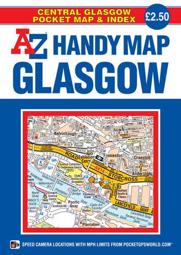

This A-Z Handy Map of Glasgow is a full colour, double-sided, fold-out sheet map covering central Glasgow; extending to Ruchill in the north, Cathcart in the south, Shieldhall in the west and Tollcross in the east. Postcode districts, one-way streets, safety camera locations with speed limits and park and ride sites are featured on the street map. In addition, tourist attractions, sporting venues, subway (SPT) stations and other places of interest are clearly identified and named. The reverse side includes a comprehensive index to streets, tourist attractions, sporting venues and public transport stations. A quick reference rail and subway connections map is also included. Folding down to a compact 160 x 115 mm this pocket sized, self-covered map is lightweight and easy to use.
"synopsis" may belong to another edition of this title.
- PublisherGeographers' A-Z Map Co Ltd
- Publication date2014
- ISBN 10 1782570446
- ISBN 13 9781782570448
- BindingMap
- Edition number1
- Number of pages1
(No Available Copies)
Search Books: Create a WantIf you know the book but cannot find it on AbeBooks, we can automatically search for it on your behalf as new inventory is added. If it is added to AbeBooks by one of our member booksellers, we will notify you!
Create a Want