Items related to Reeds Looseleaf Almanac 2016 (Reed's Almanac)
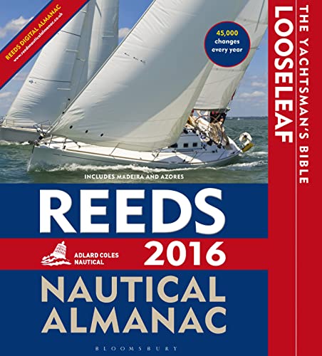

The Reeds Looseleaf Almanac provides all the information required to navigate Atlantic coastal waters around the UK, Ireland, Channel Islands, and the entire European coastline from the tip of Denmark right down to Gibraltar, including the Azores and Madeira.
This is a versatile system that combines almanac and pilotage information in a convenient looseleaf form. The unique looseleaf format, bound inside a durable binder which stays open on the chart table, lets the user tailor the Almanac to their needs by complementing the contents supplied with whatever information they may want to add or take out. The looseleaf format makes information access quick and easy whilst allowing the navigator to refresh it with the annual update pack.
Includes 700 harbour chartlets, Harbour facilities, Tide tables and streams, 7,500 waypoints, International codes and flags, Weather, Distance tables, Passage advice, Area planning charts, Rules of the road, Radio information, Communications, Safety, Mayday and distress procedures, and Documentation and Customs. The 2016 edition is updated throughout, containing over 45,000 changes, and includes a free Reeds Marina Guide.
Also available: free supplements of up-to-date navigation changes from January to June at: www.reedsnauticalalmanac.co.uk
"There are some things I would not go to sea without - Reeds is one of them" Sir Chay Blyth
"The big, bold, extravagantly comprehensive king of Almanacs" Yachting World
"On every cruising boat you'll find one of these. Don't start your engines without it" Motor Boat and Yachting
"The bible of almanacs" Classic Boat
"synopsis" may belong to another edition of this title.
Product Description:
This Reeds Looselead Complete Reed's Looseleaf system. This system comprises of a file large enough to contain the whole re-fill pack and the pack itself. Covers British Isles, Ireland, and North Sea coast of Europe from Denmark, English Channel, and Atlantic coasts of France, Spain and Portugal to Gibraltar. Includes the Azores and Madera.
Now features four colour port plans throughout.
Topics covered include tide tables and streams, waypoints, harbour plans in the UK, Ireland, Spain, Portugal, France, Belgium, The Netherlands, Germany and Denmark, safety, harbour facilities, international codes and flags, coastal navigation, radio navigation aids, communications, and weather. The almanac also provides full charts and diagrams to support the text.
"About this title" may belong to another edition of this title.
- PublisherReed's Almanac
- Publication date2015
- ISBN 10 1472919424
- ISBN 13 9781472919427
- BindingLoose Leaf
- Number of pages1096
(No Available Copies)
Search Books: Create a WantIf you know the book but cannot find it on AbeBooks, we can automatically search for it on your behalf as new inventory is added. If it is added to AbeBooks by one of our member booksellers, we will notify you!
Create a Want