Items related to Colorado (Delorme Atlas & Gazetteer)
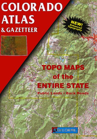

Rely on a DeLorme Atlas and Gazetteer for the utmost in trip planning and backcountry access. Contains topographic maps with unbeatable detail, plus gazetteer information on great places to go and things to do. Each atlas is a quality paperback.
Size: 11" x 15-1/2".
Team Logo: Colorado.
"synopsis" may belong to another edition of this title.
- PublisherDeLorme Mapping Co ,U.S.
- Publication date1998
- ISBN 10 089933265X
- ISBN 13 9780899332659
- BindingPaperback
- Edition number4
- Number of pages104
- Rating
Buy New
Learn more about this copy
� 22.35
Shipping:
� 3.14
Within U.S.A.
Top Search Results from the AbeBooks Marketplace
Stock Image
Colorado Atlas Gazetteer (Delorme Atlas Gazetteer)
Seller:
Rating
Book Description Paperback. Condition: new. New. Fast Shipping and good customer service. Seller Inventory # Holz_New_089933265X
Buy New
� 22.35
Convert currency
Stock Image
Colorado Atlas Gazetteer (Delorme Atlas Gazetteer)
Seller:
Rating
Book Description Paperback. Condition: new. New. Seller Inventory # Wizard089933265X
Buy New
� 23.74
Convert currency
Stock Image
Colorado Atlas Gazetteer (Delorme Atlas Gazetteer)
Seller:
Rating
Book Description Paperback. Condition: new. New Copy. Customer Service Guaranteed. Seller Inventory # think089933265X
Buy New
� 23.99
Convert currency
Stock Image
Colorado Atlas Gazetteer (Delorme Atlas Gazetteer)
Seller:
Rating
Book Description Paperback. Condition: new. Brand New Copy. Seller Inventory # BBB_new089933265X
Buy New
� 26.56
Convert currency
Stock Image
Colorado Atlas & Gazetteer (Delorme Atlas & Gazetteer)
Published by
DeLorme Maps
(1998)
ISBN 10: 089933265X
ISBN 13: 9780899332659
New
Softcover
Quantity: 1
Seller:
Rating
Book Description Softcover. Condition: New. 4th. From DeLorme. New! Enhanced Topography. Topo Maps of the Entire State. * Back Roads * Public Lands. 104 pages. Size: approx. 11" x 15 3/4" ISBN 089933-263-3. DeLorme Colorado Atlas & Gazetteer The DeLorme Colorado Atlas & Gazetteer gives you an enormous amount of information that some normal, fold-out maps don't provide. You'll be able to plan hikes, backpacking trips, river trips, fishing excursions, hunting expeditions, bike rides, and more with the amount of detail that these topo maps include. In addition to elevations, you get symbols for everything you would need in National Forest lands to locations of monuments. It's a wealth of Colorado information for the avid traveler.Back roads, dirt roads, and trails Elevation contours Remote lakes and streams Boat ramps Public lands for recreation Land use/land cover Trailheads Campgrounds Hunting and fishing spots. Note that we have listed several other DeLorme books; if you buy more than one we combine orders and refund all shipping except for one. Seller Inventory # DADAX089933265X
Buy New
� 39.63
Convert currency
Stock Image
Colorado Atlas & Gazetteer (Delorme Atlas & Gazetteer)
Seller:
Rating
Book Description Paperback. Condition: New. New. book. Seller Inventory # D7S9-1-M-089933265X-6
Buy New
� 110.87
Convert currency