Items related to Inland Waterways of Britain
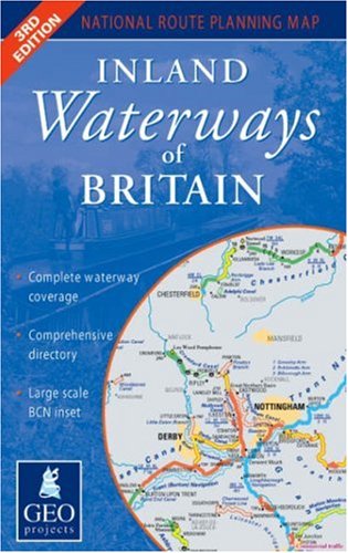

National waterways map at 1:625,000 providing complete coverage of all the broad and narrow canals, rivers and tidal rivers of England, Wales and Scotland. Includes historical navigations, highlighting those under active restoration and showing major waterways under construction and new proposed routes. Map detail shows lock flights, tunnels, significant canal features of interest and prominent local hazards as well as frequent locks/miles/time indicators.
Side One
Coverage of England and Wales with an inset of the complex Birmingham Canal Navigations at 1:166,700. Gives details of the headquarters and regional offices of the principal navigation authorities and national waterways organisations.
Side Two
Coverage of Scotland together with a comprehensive directory of all the waterways with contact details of their navigation authorities and canal societies.
"synopsis" may belong to another edition of this title.
- PublisherGEOprojects (UK)
- Publication date2007
- ISBN 10 0863511953
- ISBN 13 9780863511950
- BindingMap
- Edition number3
- Number of pages2
Top Search Results from the AbeBooks Marketplace

Stock Image
Inland Waterways of Britain
Published by
GEOprojects (UK) Ltd
(2007)
ISBN 10: 0863511953
ISBN 13: 9780863511950
Used
Paperback
Quantity: 1
Seller:
Rating
Book Description Paperback. Condition: Fair. A readable copy of the book which may include some defects such as highlighting and notes. Cover and pages may be creased and show discolouration. Seller Inventory # GOR010297166
Buy Used
� 25
Convert currency
Stock Image
Inland Waterways of Britain
Published by
GEOprojects (UK) Ltd, United Kingdom, Berkshire
(2007)
ISBN 10: 0863511953
ISBN 13: 9780863511950
Used
Paperback
Quantity: 2
Seller:
Rating
Book Description Paperback. Condition: Very Good. The book has been read, but is in excellent condition. Pages are intact and not marred by notes or highlighting. The spine remains undamaged. Seller Inventory # GOR004303982
Buy Used
� 49.98
Convert currency