Items related to Map of the Inland Waterways of Great Britain
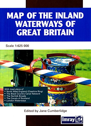

Clearly printed in full colour showing navigable and abandoned waterways with distances, this map has been completely revised and redrawn under the supervision of Jane Cumberlidge. It includes plans of North West England, The Cheshire Ring, Black Country Canals, the Norfolk Broads, the London Canal network and the small scale plan to show the Scottish Waterways. Imray's map has been standard reference to the Waterways system for nearly 50 years. Scale 1:6 2500, 28 x 40 fold-out map in cover.
"synopsis" may belong to another edition of this title.
- PublisherImray, Laurie, Norie & Wilson Ltd
- Publication date2001
- ISBN 10 0852885792
- ISBN 13 9780852885796
- BindingMap
(No Available Copies)
Search Books: Create a WantIf you know the book but cannot find it on AbeBooks, we can automatically search for it on your behalf as new inventory is added. If it is added to AbeBooks by one of our member booksellers, we will notify you!
Create a Want