Items related to Brierfield and Reedley Hallows 1910: Lancashire Sheet...
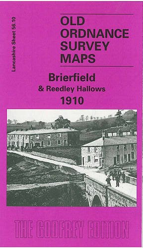

Detailed map of Brierfield; Lancashire sheet 56.10. Historical introduction by Susan Byrne. This detailed map covers the Brierfield and Reedley Hallows area north of Burnley. The eastern part of the map is busy with development along the Colne Road, with coverage stretching from Reedley Grove northward to Bank Street and the gasworks but the western half of the map is quite rural. Features include the railway with Brierfield station, Reedley Hall, tramway, Monkholme, Pendle Water, Leeds & Liverpool Canal, Meadow Bank Mills, Lob Lane Shed, Pendle View Shed, Brierfield Mills, St Luke's church, Market Place, town hall, Waterside, Holme End, Hawks House, Greenhead Lane. On the reverse we include a 1902 directory of Reedley Hallows and a 1918 directory of Brierfield.
"synopsis" may belong to another edition of this title.
- PublisherAlan Godfrey Maps
- Publication date1998
- ISBN 10 0850549884
- ISBN 13 9780850549881
- BindingMap
Buy New
Learn more about this copy
� 2.75
Shipping:
� 30.45
From United Kingdom to U.S.A.
Top Search Results from the AbeBooks Marketplace
Stock Image
Brierfield and Reedley Hallows 1910: Lancashire Sheet 56.10 (Old O.S. Maps of Lancashire)
Seller:
Rating
Book Description No Binding. Condition: New. No Jacket. Here are the details of maps for Brierfield: Lancashire Sheet 56.10 Brierfield & Reedley Hallows 1910 - published 1998; intro by Susan M Byrne. ISBN.978-0-85054-988-1 This detailed map covers the Brierfield and Reedley Hallows area north of Burnley. The eastern part of the map is busy with development along the Colne Road, with coverage stretching from Reedley Grove northward to Bank Street and the gasworks but the western half of the map is quite rural. Features include the railway with Brierfield station, Reedley Hall, tramway, Monkholme, Pendle Water, Leeds & Liverpool Canal, Meadow Bank Mills, Lob Lane Shed, Pendle View Shed, Brierfield Mills, St Luke's church, Market Place, town hall, Waterside, Holme End, Hawks House, Greenhead Lane. On the reverse we include a 1902 directory of Reedley Hallows and a 1918 directory of Brierfield. The map links up with Lancashire Sheets 56.14 Burnley NW to the south. Seller Inventory # 000514
Buy New
� 2.75
Convert currency