Items related to Old Ordnance Survey Maps of Lancashire: Stacksteads...
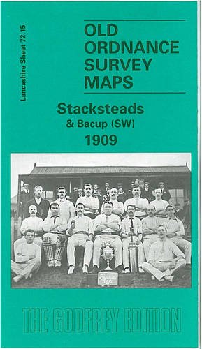

Here are the details of maps for Stacksteads: Lancashire Sheet 72.15 Stacksteads & Bacup (SW) 1909 - published 1998; intro by Keith Burrows. ISBN.978-0-85054-946-1 This detailed map covers the Rossendale village of Stacksteads, with the southern tip of Bacup. Coverage stretches from Four Lane Ends and Brandwood Quarry eastward to Ross Mills and Rockliffe Road, and from Bacup station southward to Lee Quarries. Features include Greens Moor Quarries, Lee Quarries, Frost Holes Quarry and Brandwood Quarry, all with tramways and mineral lines; Stacksteads Brick Works, Rossendale Mill, Tunstead, Waggoner Tunstead, Mitchell Fold Nook, Stacksteads station, Bacup station (top of map), Far Holme Mill, Kiln Holme Mill, Olive Mill, cemetery, Ross Mills, New Hey Mill, India Mill, St Saviour's church, Nun Hills. The many tramways and mineral railways, espec to the quarries, are a major feature of the map. On the reverse we include the Bacup commercial directory, entries C-W. The map links up with Lancashire sheet 72.11 Bacup to the south and 72.14 Waterfoot to the west.
"synopsis" may belong to another edition of this title.
- PublisherAlan Godfrey Maps
- Publication date1998
- ISBN 10 0850549469
- ISBN 13 9780850549461
- BindingMap
(No Available Copies)
Search Books: Create a WantIf you know the book but cannot find it on AbeBooks, we can automatically search for it on your behalf as new inventory is added. If it is added to AbeBooks by one of our member booksellers, we will notify you!
Create a Want