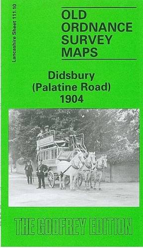
Items related to Didsbury (Palatine Road) 1904: Lancashire Sheet 111.10...

"synopsis" may belong to another edition of this title.
- PublisherAlan Godfrey Maps
- Publication date1992
- ISBN 10 0850545242
- ISBN 13 9780850545241
- BindingMap
Buy New
Learn more about this copy
Shipping:
£ 30.45
From United Kingdom to U.S.A.
Top Search Results from the AbeBooks Marketplace
Didsbury (Palatine Road) 1904: Lancashire Sheet 111.10 (Old O.S. Maps of Lancashire)
Book Description No Binding. Condition: New. No Jacket. Here are the details of maps for Didsbury (West): Lancs 111.10 Didsbury (Palatine Road) 1904 - published 1992; intro by Chris Makepeace. ISBN.978-0-85054-524-1 Lancs 111.10 Didsbury (Palatine Road) 1916 - published 2017; intro by Chris Makepeace. ISBN.978-1-78721-068-4 We have published two versions of this map, showing how the area changed across the years. The maps cover the SW area of Didsbury, from Parkfield Road westward to the River Mersey and the county boundary. Features include Marie Louise Gardens, Fielden Park, Barlow Moor Road, Ford Bank, Northenden Bridge, numerous villas in gardens etc. Coverage also extends across the Mersey to include a small portion of Northenden, incl Lingard Road, Yew Tree Lane, Kenworthy. We include extracts from contemporary street directories on the reverse. The map links up with sheets 111.06 Barlow Moor to the north, 111.11 Didsbury Heaton Mersey to the east. Also partially links with Cheshire map of Northenden to the south. Seller Inventory # 000473

