Items related to Barrow-in-Furness (North West) 1911: Lancashire Sheet...
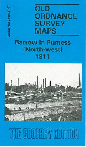

Here are the details of maps for Barrow (NW: Lancashire Sheet 21.07 Barrow in Furness (NW) 1911 - published 1991; intro by Ron Smith. ISBN.978-0-85054-461-9 This detailed map covers the NW area of Barrow, with coverage stretching from Ainslie Street westward to North Scale and Red Ley Lane, and from Duke Street northward to the cemetery. The dominant feature is the Barrow Haematite Iron & Steel Works, shown with railway sidings, steel works, many furnaces, iron works. Other features include the Furness Railway with carriage sheds, Cocken Junction, part of the Hawcoat Branch, Lower Ormsgill Reservoir, British Griffin Chilled Iron Works, Hindpool Brick Works, Steel Hoop Works, fords and ferry across the Walney Channel, North Scale, Lenny Hill. Extracts from a street directory are included on the reverse. This map links up with Sheets 21.08 Barrow NE to the east, 21.11 Barrow West to the south.
"synopsis" may belong to another edition of this title.
- PublisherAlan Godfrey Maps
- Publication date1992
- ISBN 10 0850544610
- ISBN 13 9780850544619
- BindingMap
(No Available Copies)
Search Books: Create a WantIf you know the book but cannot find it on AbeBooks, we can automatically search for it on your behalf as new inventory is added. If it is added to AbeBooks by one of our member booksellers, we will notify you!
Create a Want