Items related to Willington Quay 1895: Tyneside Sheet 7
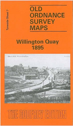

Tyneside Sheet 7 Willington Quay 1895 - published 1989; intro by Iain Watson. This detailed map covers the area north of the Tyne and stretches as far as to show Rosehill. Features on this map include Wallsend Cemetery, Football Ground, St Pauls Church, Willington House, both Willinton Quay Station and Howden on Tyne Station and Railway Lines, but most of all, this map is packed with industry, showing the Shipbuilding Works, Cement Works, Wallsend Colliery, Chemical Works and Marine Engineering Works. On the reverse of the map we include an extract from a directory of 1909-10.
"synopsis" may belong to another edition of this title.
Synopsis:
Containing an introduction by Iain Watson, this title is a reprint of old ordnance survey map.
"About this title" may belong to another edition of this title.
- PublisherAlan Godfrey Maps
- Publication date1998
- ISBN 10 0850542200
- ISBN 13 9780850542202
- BindingMap
Buy New
Learn more about this copy
� 2.75
Shipping:
� 30.45
From United Kingdom to U.S.A.
Top Search Results from the AbeBooks Marketplace
Stock Image
Willington Quay 1895: Tyneside Sheet 7
Seller:
Rating
Book Description No Binding. Condition: New. No Jacket. Here are the details of maps for Willington Quay: Tyneside Sheet 7a Willington Quay 1895 - published 1989; intro by Iain Watson. ISBN.978-0-85054-220-2 Tyneside Sheet 7b Willington Quay 1913 - published July 2017; intro by Alan Godfrey. ISBN.978-1-78721-073-8 We have published two versions of this map, showing how the area changed oer the years. The maps covers the Willington Quay area and parts of east Wallsend, Howdon and the Rosehill area. Features include St Peter's church, Wallsend Colliery, numerous shipyards and marine engineering works along the Tyne, Willington Viaduct, Point Pleasant station, Willington Quay station, Howdon station, Howdon Pans, ballast hill, Clelands yard, Tharsis Copper Works, Tyne Cement Works, Wallsend Slipway & Engineering Works, tramways, NER Riverside Branch, Howdon Landing Stage, etc. We include extracts from early directories on the reverse. This map links up with Tyneside Sheet 6 Wallsend to the West, Sheet 8 Percy Main to the east, Sheet 14 Jarrow to the south. Seller Inventory # 000946
Buy New
� 2.75
Convert currency