Items related to Hereford and Leominster: Sheet 149 (Landranger Maps)
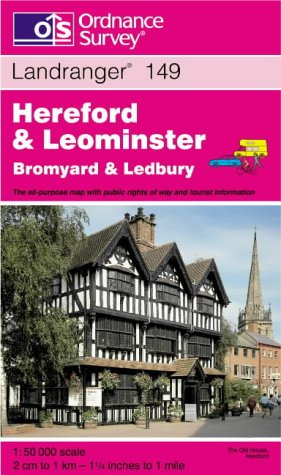

This map is part of the Landranger (Pink) series and is designed for people who really want to get to know an area. It includes the following information: tourist information, camping and caravan sites, picnic areas and viewpoints, selected places of interest and rights of way information for England and Wales. Each map in the series covers an area of 40 km by 40 km (25 miles by 25 miles) and like other Ordnance Survey maps, National Grid squares are provided so that any feature can be given a unique reference number. Perfect for planning ahead and local excursions, these maps are full of useful information that will help you really get to know an area.
"synopsis" may belong to another edition of this title.
About the Author:
Ordnance Survey is Britain's national mapping agency, responsible for the official, definitive mapping of the whole country. They produce and market a wide range of maps for educational and leisure purposes, as well as producing computer data products for government, business and administrative use.
"About this title" may belong to another edition of this title.
- PublisherOrdnance Survey
- Publication date1999
- ISBN 10 0319224287
- ISBN 13 9780319224281
- BindingMap
- Edition number2
Top Search Results from the AbeBooks Marketplace

Stock Image
Hereford and Leominster: Sheet 149 (Landranger Maps)
Seller:
Rating
Book Description Paperback. Condition: Very Good. The book has been read, but is in excellent condition. Pages are intact and not marred by notes or highlighting. The spine remains undamaged. Seller Inventory # GOR003463959
Buy Used
� 1.78
Convert currency
Seller Image
Hereford and Leominster: Sheet 149 (Landranger Maps)
Seller:
Rating
Book Description Condition: Good. Most items will be dispatched the same or the next working day. Seller Inventory # wbs8073919505
Buy Used
� 1.35
Convert currency
Stock Image
Hereford and Leominster (Landranger Maps)
Seller:
Rating
Book Description Map. Condition: Good. All orders are dispatched the following working day from our UK warehouse. Established in 2004, we have over 500,000 books in stock. No quibble refund if not completely satisfied. Seller Inventory # mon0004978050
Buy Used
� 3.59
Convert currency
Stock Image
Hereford and Leominster (Landranger Maps)
Seller:
Rating
Book Description Condition: Good. 100% Satisfaction Guaranteed. Seller Inventory # 51UMBA000F6W
Buy Used
� 18.52
Convert currency