Items related to Gairloch and Ullapool Area (Sheet 19) (OS Landranger...
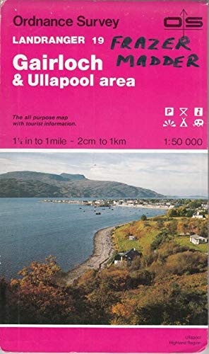

This map is part of the Landranger (Pink) series and is designed for people who really want to get to know an area. It includes the following information: tourist information, camping and caravan sites, picnic areas and viewpoints, selected places of interest and rights of way information for England and Wales. Each map in the series covers an area of 40 km by 40 km (25 miles by 25 miles) and like other Ordnance Survey maps, National Grid squares are provided so that any feature can be given a unique reference number. Perfect for planning ahead and local excursions, these maps are full of useful information that will help you really get to know an area.
"synopsis" may belong to another edition of this title.
About the Author:
Ordnance Survey is Britain's national mapping agency, responsible for the official, definitive mapping of the whole country. They produce and market a wide range of maps for educational and leisure purposes, as well as producing computer data products for government, business and administrative use.
"About this title" may belong to another edition of this title.
- PublisherOrdnance Survey
- Publication date1988
- ISBN 10 0319220192
- ISBN 13 9780319220191
- BindingMap
Top Search Results from the AbeBooks Marketplace

Stock Image
Gairloch and Ullapool Area (Sheet 19) (OS Landranger Map)
ISBN 10: 0319220192
ISBN 13: 9780319220191
Used
Paperback
Quantity: 3
Seller:
Rating
Book Description Paperback. Condition: Very Good. The book has been read, but is in excellent condition. Pages are intact and not marred by notes or highlighting. The spine remains undamaged. Seller Inventory # GOR003794149
Buy Used
� 1.24
Convert currency
Stock Image
Gairloch and Ullapool Area (Sheet 19) (OS Landranger Map)
ISBN 10: 0319220192
ISBN 13: 9780319220191
Used
Paperback
Quantity: 1
Seller:
Rating
Book Description Paperback. Condition: Fair. A readable copy of the book which may include some defects such as highlighting and notes. Cover and pages may be creased and show discolouration. Seller Inventory # GOR001349191
Buy Used
� 1.24
Convert currency
Stock Image
Landranger Maps: Gairloch and Ullapool Area Sheet 19 (OS Landranger Map)
Seller:
Rating
Book Description Condition: Good. Ships from the UK. Used book that is in clean, average condition without any missing pages. Seller Inventory # 17693021-20
Buy Used
� 3.94
Convert currency
Stock Image
Landranger Maps: Gairloch and Ullapool Area Sheet 19 (OS Landranger Map)
Seller:
Rating
Book Description Map. Condition: Used; Good. **SHIPPED FROM UK** We believe you will be completely satisfied with our quick and reliable service. All orders are dispatched as swiftly as possible! Buy with confidence! Greener Books. Seller Inventory # 3382573
Buy Used
� 3.55
Convert currency
Stock Image
Landranger Maps: Gairloch And Ullapool Area Sheet
Seller:
Rating
Book Description Map. Condition: Very Good. Map. Very Good. Seller Inventory # 472520
Buy Used
� 10.28
Convert currency
Stock Image
Landranger Maps: Gairloch and Ullapool Area Sheet 19 (OS Landranger Map)
Seller:
Rating
Book Description Map. Condition: Used; Good. ***Simply Brit*** Welcome to our online used book store, where affordability meets great quality. Dive into a world of captivating reads without breaking the bank. We take pride in offering a wide selection of used books, from classics to hidden gems, ensuring there is something for every literary palate. All orders are shipped within 24 hours and our lightning fast-delivery within 48 hours coupled with our prompt customer service ensures a smooth journey from ordering to delivery. Discover the joy of reading with us, your trusted source for affordable books that do not compromise on quality. Seller Inventory # 1664898
Buy Used
� 3.55
Convert currency
Seller Image
Gairloch & Ullapool area (Landranger Map 19)
Seller:
Rating
Book Description Map. Condition: Good. Card covers a little rubbed and edgeworn, map itself is in very good condition. Revised 1974, major roads 1975. edition A/. 0319220192. Seller Inventory # 17072603X19-166
Buy Used
� 3
Convert currency