Items related to RAC Road Atlas Britain (RAC Atlases)
Synopsis
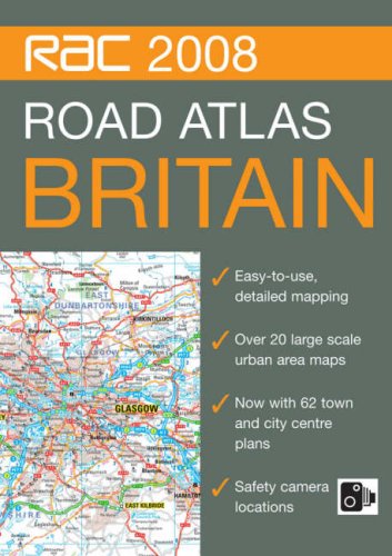
This A4 format, spiral bound, road atlas features clear, detailed road mapping with physical relief shading. It includes a wide range of large scale urban area maps plus 62 town and city plans. Safety camera locations are indicated and it features dedicated, fully indexed London mapping at 5 inches to 1 mile. Additional features include: motorway services listed with facilities information, motorway junction access information, park and ride locations, places of interest indicated, blue flag beaches and surfing beaches shown, and a distance chart. It is fully indexed. This popular A4 format with lie-flat spiral binding is ideal to keep in the car as a handy reference tool and the paper is sourced from a sustainable forest, making it environmentally friendly.
"synopsis" may belong to another edition of this title.
- PublisherCollins
- Publication date2007
- ISBN 10 0007796994
- ISBN 13 9780007796991
- BindingSpiral-bound
- Number of pages304
(No Available Copies)
Search Books: Create a WantIf you know the book but cannot find it on AbeBooks, we can automatically search for it on your behalf as new inventory is added. If it is added to AbeBooks by one of our member booksellers, we will notify you!
Create a Want
