Items related to Norfolk Broads (Collins Nicholson Waterways Guides)

The number 1 choice for all users of the inland waterways. This popular and practical guide covers the canals and waterways of the Broads National Park, including the Norfolk and Suffolk Broads and the Rivers Ant, Bure, Thurne, Wensum, Yare, Chet and Waveney.The detailed Ordnance Survey (R) maps clearly show the location of essential features such as locks, towpaths and boating facilities, as well as pubs, shops and restaurants in the area. There are comprehensive navigational notes and descriptive text on the history of The Broads, and on local services and places of interest, for which postcodes are included - ideal for use with sat-navs.This practical A5 guide features 'lie flat' spiral binding and 'book mark' back cover flap for ease of reference.The Broads are one of Britain's best-known holiday boating areas., They make up Britain's largest and most important protected wetland and are a national park providing a home to some of the rarest plants and animals in the country. A unique and enchanting wetland, with over 125 miles of lock-free, navigable tidal waters, all waiting to be explored.Nicholson's - The bestselling guides to Britain's Waterways.
"synopsis" may belong to another edition of this title.
Review:
About the Author:
"few serious boaters will venture out without a Nicholson's Guide. There is a wealth of information...and the guides are valuable for cyclists and walkers too." The Inland Waterways Association.
Explore the world through accurate and up-to-date mapping.
"About this title" may belong to another edition of this title.
- PublisherNicholson
- Publication date2014
- ISBN 10 0007539002
- ISBN 13 9780007539000
- BindingSpiral-bound
- Number of pages96
- Rating
Top Search Results from the AbeBooks Marketplace

Stock Image
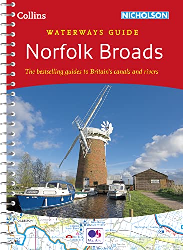
Norfolk Broads (Collins Nicholson Waterways Guides)
Published by
Collins UK
(2014)
ISBN 10: 0007539002
ISBN 13: 9780007539000
Used
Paperback
Quantity: 3
Seller:
Rating
Book Description Paperback. Condition: Good. The book has been read but remains in clean condition. All pages are intact and the cover is intact. Some minor wear to the spine. Seller Inventory # GOR007120579
Buy Used
� 9.04
Convert currency
Seller Image
Norfolk Broads (Collins Nicholson Waterways Guides)
Seller:
Rating
Book Description Condition: VeryGood. Most items will be dispatched the same or the next working day. Seller Inventory # wbs2959888214
Buy Used
� 8.94
Convert currency
Stock Image
Norfolk Broads (Collins Nicholson Waterways Guides)
Published by
HarperCollins Publishers, United Kingdom, Edinburgh
(2014)
ISBN 10: 0007539002
ISBN 13: 9780007539000
Used
Paperback
Quantity: 5
Seller:
Rating
Book Description Paperback. Condition: Very Good. The number 1 choice for all users of the inland waterways. This popular and practical guide covers the canals and waterways of the Broads National Park, including the Norfolk and Suffolk Broads and the Rivers Ant, Bure, Thurne, Wensum, Yare, Chet and Waveney. The detailed Ordnance Survey maps clearly show the location of essential features such as locks, towpaths and boating facilities, as well as pubs, shops and restaurants in the area. There are comprehensive navigational notes and descriptive text on the history of The Broads, and on local services and places of interest, for which postcodes are included ideal for use with sat-navs. This practical A5 guide features 'lie flat' spiral binding and 'book mark' back cover flap for ease of reference. The Broads are one of Britain's best-known holiday boating areas. They make up Britain's largest and most important protected wetland and are a national park providing a home to some of the rarest plants and animals in the country. A unique and enchanting wetland, with over 125 miles of lock-free, navigable tidal waters, all waiting to be explored. Nicholson's The bestselling guides to Britain's Waterways. The book has been read, but is in excellent condition. Pages are intact and not marred by notes or highlighting. The spine remains undamaged. Seller Inventory # GOR006818339
Buy Used
� 18.06
Convert currency
Stock Image
Norfolk Broads (Collins Nicholson Waterways Guides)
Published by
Collins UK
(2014)
ISBN 10: 0007539002
ISBN 13: 9780007539000
Used
Softcover
Quantity: 1
Seller:
Rating
Book Description Condition: Very Good. Book is in Used-VeryGood condition. Pages and cover are clean and intact. Used items may not include supplementary materials such as CDs or access codes. May show signs of minor shelf wear and contain very limited notes and highlighting. Seller Inventory # 0007539002-2-3
Buy Used
� 38.71
Convert currency