Items related to 2013 Collins Map of France
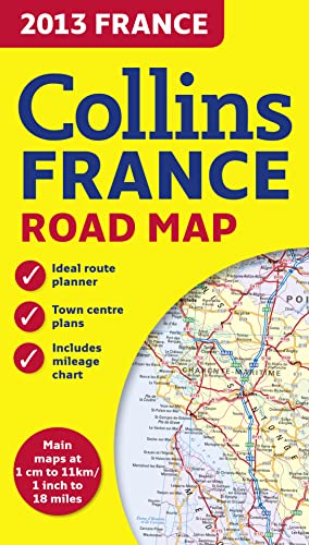

New edition of annually revised, politically coloured road map of France at 18 miles to 1 inch / 11km to 1cm (1:1,120,000). The map shows individual department by name, and cities, towns, roads, European route numbers, motorways and toll motorways are clearly shown, making it the ideal map for planning and route-finding.
The map shows the road network in detail for easy route planning. With its political colouring of departments, it is ideal for reference and business users also.
AREA OF COVERAGE
Covers the whole of France from the Belgian and German borders in the north to the Spanish border in the south, and from the Brest Peninsula in the west to the Italian and Swiss borders in the east. Also includes the island of Corsica.
MAIN FEATURES
� Fully revised and updated for 2013.
� Clear, detailed road network.
� Through-route maps of Paris, Lyon, Marseille, Strasbourg, and Toulouse.
� Distance chart giving distances in kilometres between main towns.
� Key to department names and numbers, and list of regions.
� Internet links to further information.
� Full Index to place names.
� Map legend in English, French and German.
"synopsis" may belong to another edition of this title.
- PublisherCollins
- Publication date2012
- ISBN 10 0007478984
- ISBN 13 9780007478989
- BindingMap
Top Search Results from the AbeBooks Marketplace

Stock Image
2013 Collins Map of France
Seller:
Rating
Book Description Paperback. Condition: Very Good. The book has been read, but is in excellent condition. Pages are intact and not marred by notes or highlighting. The spine remains undamaged. Seller Inventory # GOR006915873
Buy Used
� 2.80
Convert currency
Stock Image
2013 Collins Map of France
Seller:
Rating
Book Description map. Condition: Very Good. Orders shipped daily from the UK. Professional seller. Seller Inventory # mon0000427948
Buy Used
� 2.79
Convert currency