Items related to 2010 Map of Europe (International Road Map)

New edition of annually revised, politically coloured map of Europe. The ideal map for planning and route-finding.
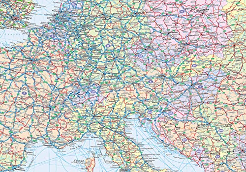
Scale 1 : 4 500 000 (1cm to 45 km/1 inch to 71 miles).
AREA OF COVERAGE
From the North Cape to Gibraltar and from Ireland to east of Moscow. Also includes Iceland and Cyprus.
MAP DETAIL
Politically coloured mapping showing classified road network, railways, airports, cities and towns.
INCLUDES
� Index to place names on reverse of sheet
� Distance chart giving distances in kilometres between main towns
� European Union map showing member states and the Euro-zone
� Internet links to further information on Europe
� Key to approved country code abbreviations – GB, F, D etc.
� Map legend in English, French, German, Spanish and Italian
WHO THE PRODUCT IS OF INTEREST TO
Home and business reference users.
"synopsis" may belong to another edition of this title.
- PublisherCollins
- Publication date2009
- ISBN 10 0007317913
- ISBN 13 9780007317912
- BindingMap
(No Available Copies)
Search Books: Create a WantIf you know the book but cannot find it on AbeBooks, we can automatically search for it on your behalf as new inventory is added. If it is added to AbeBooks by one of our member booksellers, we will notify you!
Create a Want