Items related to Central and East London Map
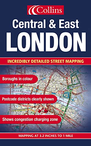

Scale: 3.2 inches to 1 mile. The eastern sheet of a two sheet series of London displaying detailed street level mapping with boroughs colour coded and postcodes shown to district level.
MAIN FEATURES
This detailed street map of London is the eastern sheet of a two sheet series. The mapping is extremely detailed and is colour coded to show the London boroughs and also displays postcode information down to district level. There are over 40 categories of information with roads colour classified and land use clearly shown. All presented in a durable card covered map.
INCLUDES
� boroughs shown in colour
� postcode districts
� full index to street names
� land use colour coded
AREA OF COVERAGE
Extends from Finsbury Park in the north to Sydenham and Plaistow in the south, and from Victoria in the west to Erith and Crayford in the east..
WHO THE PRODUCT IS OF INTEREST TO
This is ideal as a planning and business tool but is also an excellent general purpose map.
"synopsis" may belong to another edition of this title.
- PublisherCollins
- Publication date2003
- ISBN 10 0007151977
- ISBN 13 9780007151974
- BindingMap
(No Available Copies)
Search Books: Create a WantIf you know the book but cannot find it on AbeBooks, we can automatically search for it on your behalf as new inventory is added. If it is added to AbeBooks by one of our member booksellers, we will notify you!
Create a Want