Items related to Belfast Streetfinder Colour Atlas
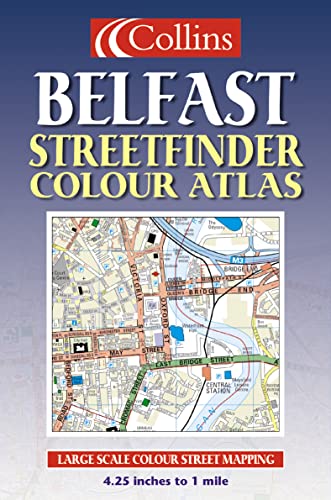

4.25 inches to 1 mile. Handy atlas in full colour with clear street level detail.
MAIN FEATURES
Street atlas covering an extensive area of Greater Belfast with clear, concise full colour mapping and full index to street names.
INCLUDES
� All classified roads and streets
� All important buildings and places of interest
� Car Parks & railway stations
AREA OF COVERAGE
Extends from Ladybrook in the west, to Holywood in the east and from Belfast Castle in the north to Newtownbreda in the south.
WHO PRODUCT IS OF INTEREST TO
Ideal for businesses, residents and visitors with its large area of coverage and high level of detail.
"synopsis" may belong to another edition of this title.
From the Back Cover:
Synopsis:
MAIN FEATURES
Street atlas covering an extensive area of Greater Belfast with clear, concise full colour mapping and full index to street names.
INCLUDES
� All classified roads and streets
� All important buildings and places of interest
� Car Parks & railway stations
AREA OF COVERAGE
Extends from Andersonstown in the west, to Holywood in the east and from Belfast Castle in the north to Castlereagh in the south.
WHO PRODUCT IS AIMED AT
Ideal for businesses, residents and visitors with its large area of coverage and high level of detail.
This atlas is in full colour and has a scale of 4.25 inches to 1 mile. It contains clear street-level detail with concise full-colour mapping and a full index to street names. All classified roads and streets are covered, along with all important buildings and places of interest, including car parks and railway stations. Coverage extends from Ladybrook in the west, to Holywood in the east and from Belfast Castle in the north to Newtownbreda in the south.
"About this title" may belong to another edition of this title.
- PublisherCollins
- Publication date2003
- ISBN 10 0007147546
- ISBN 13 9780007147540
- BindingPaperback
- Number of pages48
(No Available Copies)
Search Books: Create a WantIf you know the book but cannot find it on AbeBooks, we can automatically search for it on your behalf as new inventory is added. If it is added to AbeBooks by one of our member booksellers, we will notify you!
Create a Want