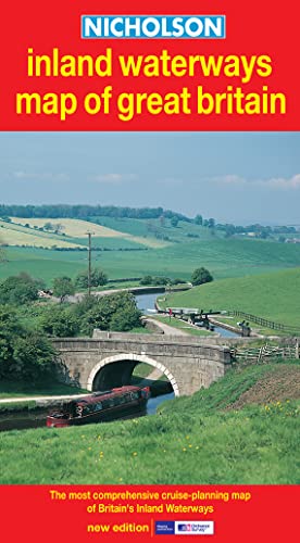
Items related to Nicholson Inland Waterways Map of Great Britain (Waterways...

The map companion to the Nicholson Waterways Guides, covering the entire network of canal and river navigations in England, Scotland and Wales, including newly restored/opened canals and rivers.
The map identifies narrow and broad canals, navigable rivers, tidal river navigations and waterways under construction. An inset map of the Scottish navigations has been enlarged and clearly shows the restored Forth & Clyde and Union Canals.
Also:
· Contact telephone numbers and dimensions for each waterway.
Clear insets of the Birmingham Canal Navigations, Scottish navigations, the Norfolk Broads and the London area.
"synopsis" may belong to another edition of this title.
The map identifies narrow and broad canals, navigable rivers, tidal river navigations and waterways under construction. An inset map of the Scottish navigations has been enlarged and clearly shows the restored Forth & Clyde and Union Canals.
Also:
· Contact telephone numbers and dimensions for each waterway.
· Clear insets of the Birmingham Canal Navigations, Scottish navigations, the Norfolk Broads and the London area.
"About this title" may belong to another edition of this title.
- PublisherNicholson
- Publication date2003
- ISBN 10 0007136722
- ISBN 13 9780007136728
- BindingMap
Shipping:
£ 4.80
From United Kingdom to U.S.A.
Top Search Results from the AbeBooks Marketplace
Nicholson Inland Waterways Map of Great Britain (Waterways Guide)
Book Description Paperback. Condition: Very Good. The book has been read, but is in excellent condition. Pages are intact and not marred by notes or highlighting. The spine remains undamaged. Seller Inventory # GOR002813273
Nicholson Inland Waterways Map of Great Britain (Waterways Guide)
Book Description Paperback. Condition: Good. The book has been read but remains in clean condition. All pages are intact and the cover is intact. Some minor wear to the spine. Seller Inventory # GOR002781657

