Items related to London Street Atlas: Small (Collins street atlas)
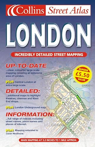

1:20,000 3.17 inches to 1 mile. 6.4 inches to 1 mile for central area (1:10,000) This handy little atlas features the high quality Bartholomew digital database mapping. A huge amount of detail is contained within the mapping without compromising the clarity. Central London is mapped at a larger scale.
MAIN FEATURES
� Extremely clear, attractive, full colour mapping with enlarged central area
� Full index to place and street names
� Theatres and cinemas map, plus shopping map
� Popular spiral binding
INCLUDES
� Colour coded primary routes and public buildings
� Street markets and pedestrian streets
� Borough boundaries plus postal district boundaries and codes
AREA OF COVERAGE
Extends from Epping Forest in the north to Chessington in the south and from Heathrow in the west to Bexley in the east.
WHO THE PRODUCT IS AIMED AT
This atlas, with its huge amount of detail and the clarity of the mapping is an essential purchase for all residents and businesses in and around London.
"synopsis" may belong to another edition of this title.
From the Back Cover:
Synopsis:
MAIN FEATURES
� Extremely clear, attractive, full colour mapping with enlarged central area
� Full index to place and street names
� Theatres and cinemas map, plus shopping map
� Popular spiral binding
INCLUDES
� Colour coded primary routes and public buildings
� Street markets and pedestrian streets
� Borough boundaries plus postal district boundaries and codes
AREA OF COVERAGE
Extends from Epping Forest in the north to Chessington in the south and from Heathrow in the west to Bexley in the east.
WHO THE PRODUCT IS AIMED AT
This atlas, with its huge amount of detail and the clarity of the mapping is an essential purchase for all residents and businesses in and around London.
Covering London from Enfield in the north to Croydon in the south and from Heathrow in the west to Dagenham in the east, this atlas includes full indexes to streets, place names and places of interest. The atlas also features theatre, cinema and shopping maps.
"About this title" may belong to another edition of this title.
- PublisherCollins
- Publication date2001
- ISBN 10 000712810X
- ISBN 13 9780007128105
- BindingSpiral-bound
- Number of pages376
Other Popular Editions of the Same Title
Top Search Results from the AbeBooks Marketplace

Seller Image
London Street Atlas: Small (Collins street atlas)
Seller:
Rating
Book Description Condition: Good. Most items will be dispatched the same or the next working day. A copy that has been read but remains in clean condition. All of the pages are intact and the cover is intact and the spine may show signs of wear. The book may have minor markings which are not specifically mentioned. Seller Inventory # wbs2971715232
Buy Used
� 2.70
Convert currency