Items related to 2001 Map of Europe

Revised and updated routeplanning map of Europe. Scale 1 : 4 500 000 (1cm to 45 km/1 inch to 71 miles)
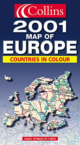
AREA OF COVERAGE
From the North Cape to Gibraltar and from Ireland to east of Moscow. Also includes Iceland and Cyprus.
MAP DETAIL
Politically coloured mapping showing roads, railways, airports, cities and towns.
INCLUDES
Index to place names on reverse of sheet. Distance chart giving distances in kilometres between main towns. Key to approved country code abbreviations – GB, F, D etc. Map legend in English, French, German, Spanish and Italian.
WHO THE PRODUCT IS AIMED AT
Home and business reference users.
"synopsis" may belong to another edition of this title.
Synopsis:
The area covered extends from the North Cape to Gibraltar and from Ireland to east of Moscow. Also including Iceland and Cyprus, the politically coloured mapping shows roads, railways, airports, cities and towns. There is an index to place names on the reverse of the sheet and a distance chart giving the distance in kilometres between main towns.
"About this title" may belong to another edition of this title.
- PublisherCollins
- Publication date2000
- ISBN 10 0004491181
- ISBN 13 9780004491189
- BindingMap
(No Available Copies)
Search Books: Create a WantIf you know the book but cannot find it on AbeBooks, we can automatically search for it on your behalf as new inventory is added. If it is added to AbeBooks by one of our member booksellers, we will notify you!
Create a Want