Items related to Gran Canaria, Lanzarote and Fuerteventura (Holiday...
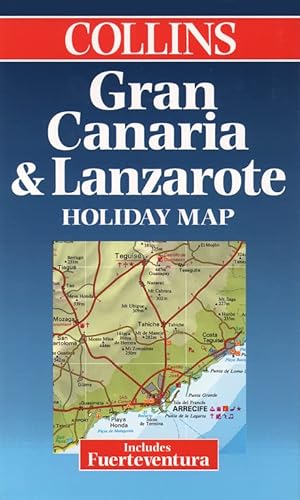

Single sided map, previously published as the Bartholomew Lanzarote,Gran Canaria and Fuerteventura Holiday Map. Now rebranded Collins. SCALE 1 : 170 000 1 cm to 1.7 kms 1 inch to 2.7 miles
EDITION
Single sided map, previously published as the Bartholomew Lanzarote, Gran Canaria and Fuerteventura Holiday Map. Now rebranded Collins.
MAIN FEATURES
Road map of the Canary Islands of Gran Canaria, Lanzarote and Fuerteventura with tourist information. Indexes to places of interest and hotels.
INCLUDES
Town plans of Las Palmas and Playa del Ingl�s. Holiday factfile on back cover.
AREA OF COVERAGE
Islands of Gran Canaria, Lanzarote and Fuerteventura.
WHO THE PRODUCT IS AIMED AT
Tourist and package holiday maker.
OTHER PRODUCTS IN THE SERIES
Tenerife
Ibiza
Menorca
Mallorca
Costa del Sol and Gibraltar
Algarve
Plus a range of maps covering most popular holiday destinations
"synopsis" may belong to another edition of this title.
From the Back Cover:
Features a map of the Canary Islands of Gran Canaria, Lanzerote and Fuerteventura with tourist information. Includes indexes to places of interest, hotels, town plans of Las Palmas and Playa del Ingles and a holiday fact file on the back cover. Scaled at 1: 150 000 (1 inch to 2.4 miles).
"About this title" may belong to another edition of this title.
- PublisherCollins
- Publication date1999
- ISBN 10 0004489268
- ISBN 13 9780004489261
- BindingMap
Top Search Results from the AbeBooks Marketplace

Stock Image
Gran Canaria & Lanzarote Holiday Map
Published by
Collins, London
(1999)
ISBN 10: 0004489268
ISBN 13: 9780004489261
Used
Paperback
First Edition
Quantity: 1
Seller:
Rating
Book Description Paperback. Condition: Very Good. No Jacket. Illustrated (illustrator). 1st Edition. A great map as new really. Seller Inventory # 11186
Buy Used
� 25
Convert currency