Items related to Big London Street Atlas

1:15,000 4.2 inches to 1 mile Central London at 8.4 inches to 1 mile (1:15000) This atlas is ideal for the driver in central london. The large scale and high level of detail make it an essential purchase.
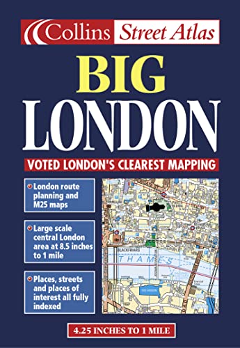
MAIN FEATURES
� Large scale full colour mapping
� Extensive area of coverage
� Extra large scale central London section
� Large format
� Includes London & M25 route planning maps
INCLUDES
� Index to places of interest
� Full index to street names
� CIear colour-coded roads and buildings
AREA OF COVERAGE
Extends from Heathrow in the west to Barking in the east, and from Edmonton in the north to Beckenham in the south.
WHO THE PRODUCT IS AIMED AT
Especially useful for businesses and drivers.
OTHER PRODUCTS IN THE SERIES
Collins publish a wide range of London mapping in a variety of scales and formats.
"synopsis" may belong to another edition of this title.
From the Back Cover:
Large-scale central London mapping showing a variety of driving and parking information including 24 hour petrol stations and red routes. Full street index and index to place names.
Scale: Central London 1: 7 500 (8.4 inches: 1 mile)
Outer London 1: 15 000 (4.2 inches; 1 mile)
"About this title" may belong to another edition of this title.
- PublisherCollins
- Publication date1999
- ISBN 10 0004488342
- ISBN 13 9780004488349
- BindingPaperback
- Number of pages104
Top Search Results from the AbeBooks Marketplace

Stock Image
Big London Street Atlas
Published by
Harper Collins
(2000)
ISBN 10: 0004488342
ISBN 13: 9780004488349
Used
Softcover
Quantity: 1
Seller:
Rating
Book Description Gut/Very good: Buch bzw. Schutzumschlag mit wenigen Gebrauchsspuren an Einband, Schutzumschlag oder Seiten. / Describes a book or dust jacket that does show some signs of wear on either the binding, dust jacket or pages. Seller Inventory # M00004488342-V
Buy Used
� 3.59
Convert currency
Stock Image
London Big Street Atlas Collins (STREET & STREEF)
Published by
Harper Collins
(2000)
ISBN 10: 0004488342
ISBN 13: 9780004488349
Used
Softcover
Quantity: 1
Seller:
Rating
Book Description Condition: Very Good. 1710245849. 3/12/2024 12:17:29 PM. Seller Inventory # U9780004488349
Buy Used
� 6.62
Convert currency
Stock Image
London Big Street Atlas Collins
Published by
Harper Collins, London
(2000)
ISBN 10: 0004488342
ISBN 13: 9780004488349
Used
Map
Quantity: 1
Seller:
Rating
Book Description Map. Condition: Near Fine. "Features Nicholson mapping"--Cover. Mapping copyright by Bartholomew Ltd. 1999. At head of title: Collins. Includes indexes to place names, street na mes, and places of interest. Map Data: Scale 1:15,000. 4.25 in. to 1 mile. Scale 1:7,500. 8.5 in. to 1 mile. Coordinates: a 15000 a 7500. Seller Inventory # RWARE0000020627
Buy Used
� 7.62
Convert currency