Atlas In The Round - Hardcover

For the first time, a children�s atlas that shows the planet in the round. Brilliant photographs show the globe flattened, drained, sliced and cored, so you can understand all its natural manifestations from tidal waves to earthquakes. Different countries are shown in superbly modelled relief, and complex earth-science theories are explained in easy text supported by drawings and art work. An exciting and original new concept with maps generated by the team that created the award winning Mountain High Maps.
"synopsis" may belong to another edition of this title.
Book Description:
Banish flat-earth syndrome with a unique three-dimensional view of the planet!
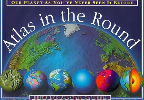
Synopsis:
This atlas shows the planet in the round. Colour photographs depict the globe flattened, drained, sliced and cored to better show all its natural manifestations, from tidal waves to earthquakes to volcanic eruptions. Different countries are shown in modelled relief, and complex earth-science theories are explained in easily understood text supported by drawings and art work. The three-dimensional globe maps were generated by the team that created the "Mountain High" maps.
"About this title" may belong to another edition of this title.
- PublisherOrion Childrens
- Publication date1999
- ISBN 10 1858817870
- ISBN 13 9781858817873
- BindingHardcover
- Number of pages32
Top Search Results from the AbeBooks Marketplace

Stock Image
Atlas In The Round
Published by
Orion Childrens
(1999)
ISBN 10: 1858817870
ISBN 13: 9781858817873
Used
Hardcover
Quantity: 1
Seller:
Rating
Book Description hardcover. Condition: Good. All orders are dispatched the following working day from our UK warehouse. Established in 2004, we have over 500,000 books in stock. No quibble refund if not completely satisfied. Seller Inventory # mon0006896484
Buy Used
� 3.59
Convert currency