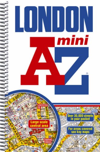
London Mini Street Atlas (spiral) (A-Z Street Atlas) - Softcover

This mini sized, spiral bound street atlas of central London is an ideal size to keep in a pocket or handbag. It covers an area extending from the centre of London to:
- Brent Cross
- Golders Green
- Highgate
- Finsbury Park
- Stoke Newington
- Leytonstone
- Wanstead
- West Ham
- Thames Flood Barrier
- Eltham
- Grove Park
- Catford
- Streatham
- Wimbledon
- Barnes Bridge
- Willesden Junction
- Neasden
Also included is a section of large scale mapping of the inner London area and this extends to: Regent's Park, St. Pancras, Finsbury, Shoreditch, Tower Bridge, The Borough, Westminster Abbey, Belgrave Square and Marble Arch.
One-way streets and safety camera locations with their speed limits are featured on both scales of street mapping.
The congestion charging zone boundary is shown on both scales of mapping and there is also an overview map of the congestion charging zone. The London Underground Map is featured within the atlas and on the outside back cover is a central London Underground Map.
The index section of the atlas lists streets, selected flats, walkways and places of interest, junction, place and area names. There are separate listings for both hospitals, NHS Walk-in Centres and hospices and for National Rail, Docklands Light Railway and London Underground Railway stations, Croydon Tramlink and River Bus stops covered by this publication.
"synopsis" may belong to another edition of this title.
- PublisherGeographers A-Z Map Company
- Publication date2010
- ISBN 10 1843486059
- ISBN 13 9781843486053
- BindingSpiral-bound
- Number of pages392
- Rating
Buy New
Learn more about this copy
� 78.25
Shipping:
� 3.29
Within U.S.A.
Top Search Results from the AbeBooks Marketplace
Stock Image
LONDON MINI STREET ATLAS (A-Z ST
Published by
Geographers a-Z
(2008)
ISBN 10: 1843486059
ISBN 13: 9781843486053
New
Softcover
Quantity: 1
Seller:
Rating
Book Description Condition: New. New. In shrink wrap. Looks like an interesting title! 0.5. Seller Inventory # Q-1843486059
Buy New
� 78.25
Convert currency